Ancient landscapes · Elan Valley
Elan Valley Past & Present archiveGurnos
Historical notes, locations and photographs from the Elan Valley ancient sites archive.
Gurnos Sites
Gurnos is north of Dolymynach reservoir, the site consists of a Bronze Age cairn and possible Iron Age Sites.
Map Ref SN899 626
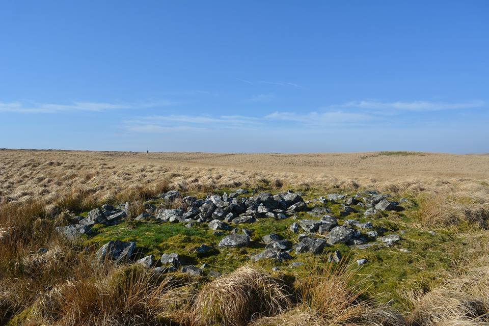
Gurnos Cairn
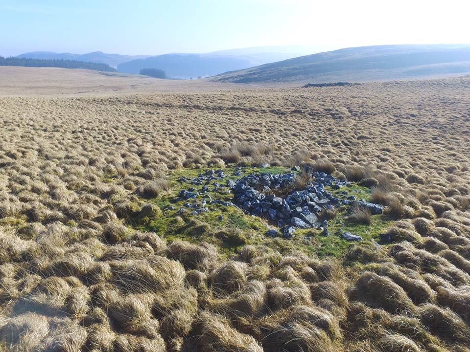
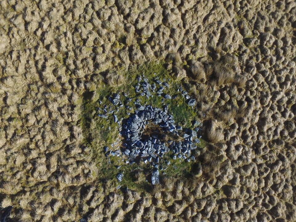
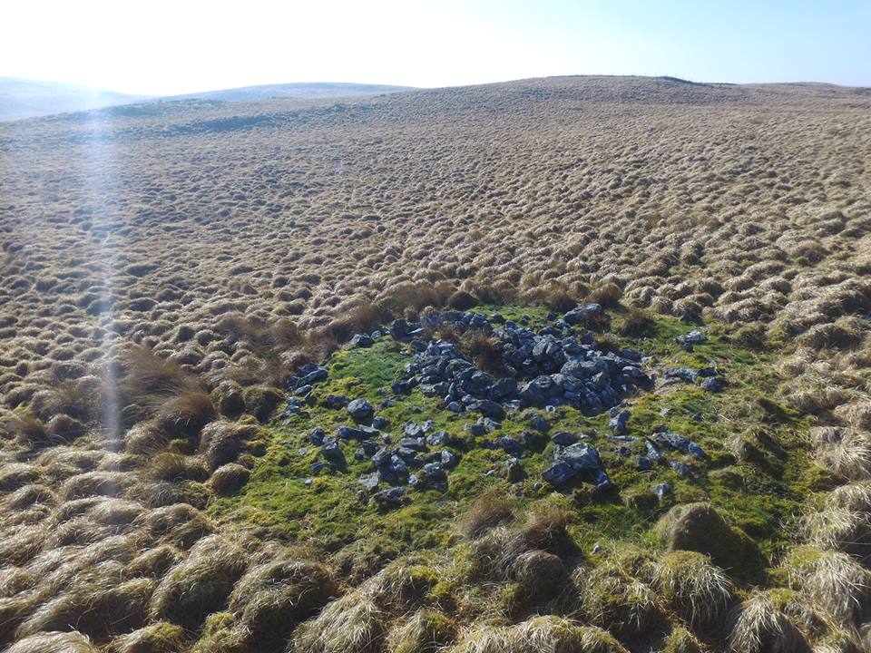
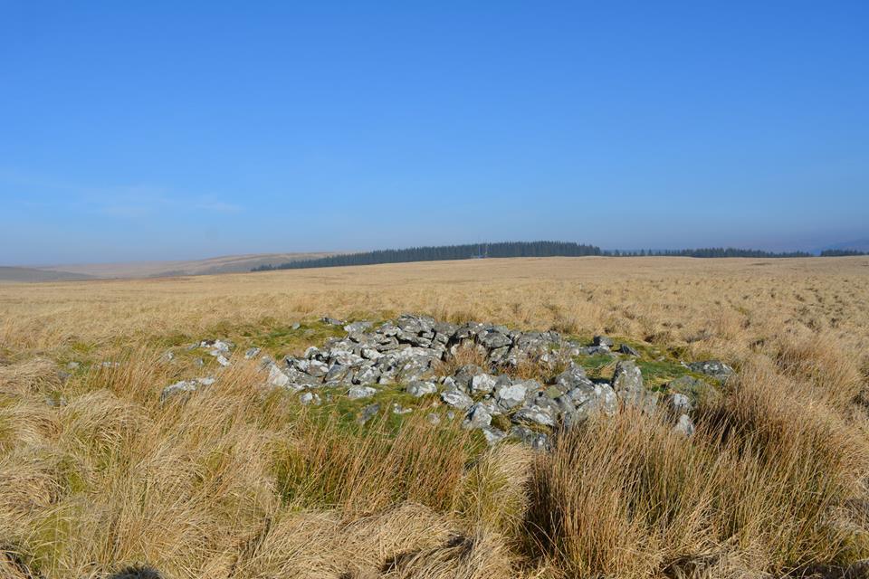
Gurnos Cairn is a disturbed cairn having a shelter built into it's centre. The cairn is 6m in diameter.
Map Ref SN89971 62623
*/
// Open the file for reading
$fp = fopen("Counter/Gurnoscounterlog.txt", "r");
// Get the existing count
$count = fread($fp, 1024);
// Close the file
fclose($fp);
// Add 1 to the existing count
$count = $count + 1;
// Display the number of hits
// If you don't want to display it, comment out this line
echo "
Page hits: " . $count . "
"; // Reopen the file and erase the contents $fp = fopen("Counter/Gurnoscounterlog.txt", "w"); // Write the new count to the file fwrite($fp, $count); // Close the file fclose($fp); ?>Explore the landscape
Explore on the map
Mapped sites are based on recorded Ordnance Survey grid references. Select a marker for more details.
Zoom and drag to explore. Ordnance Survey Leisure mapping is used when a site-restricted OS key has been configured; otherwise OpenStreetMap is displayed.