Ancient landscapes · Elan Valley
Elan Valley Past & Present archiveCraig Ddu Sites
Craig Ddu is south east of Elan Village. Map Ref: SN957 622
Sites on this page
Craig Ddu Cairn I
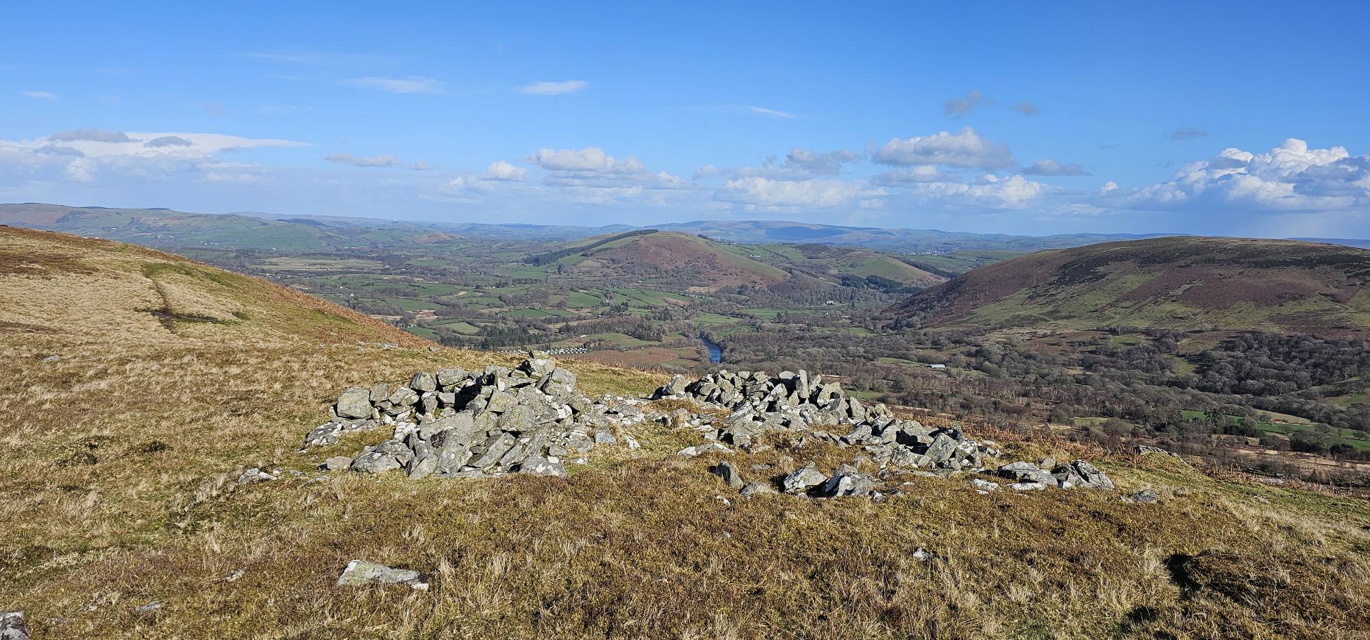
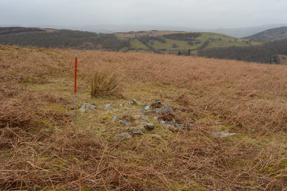
Craig Ddu Cairn II
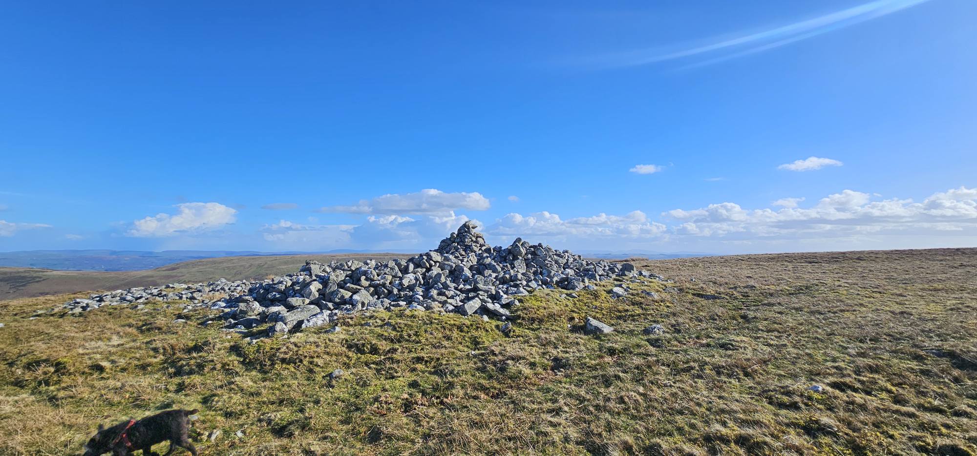
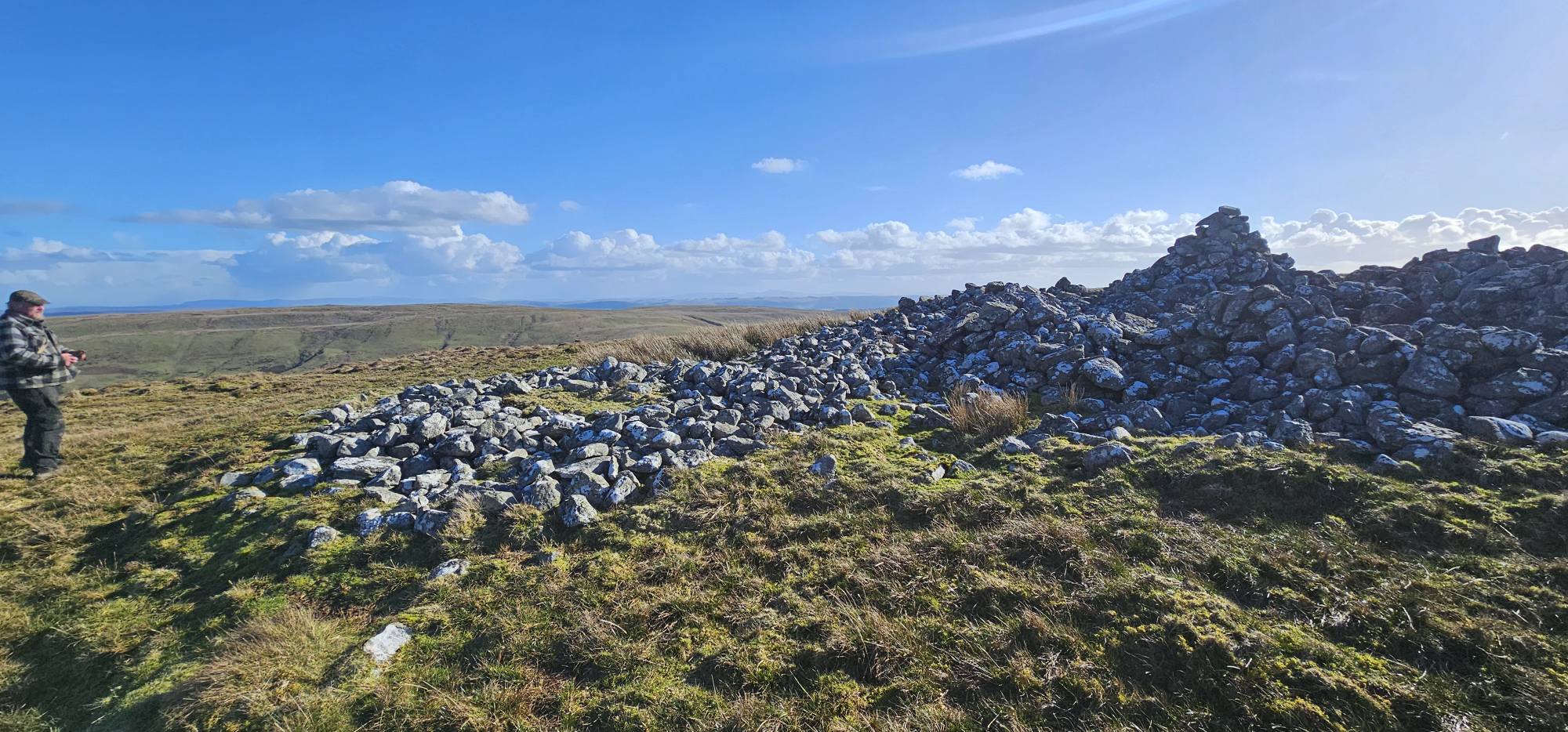
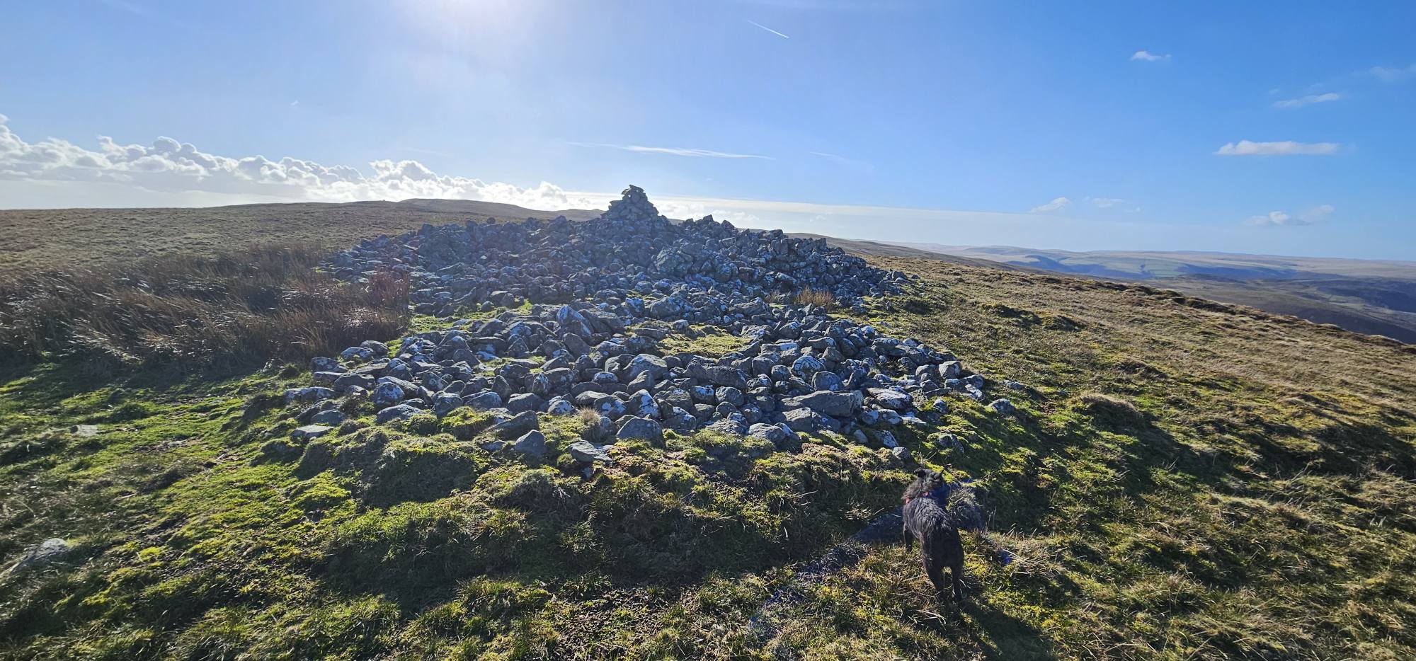
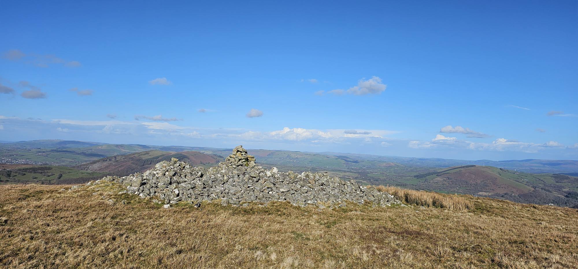
Craig Ddu Cairn III
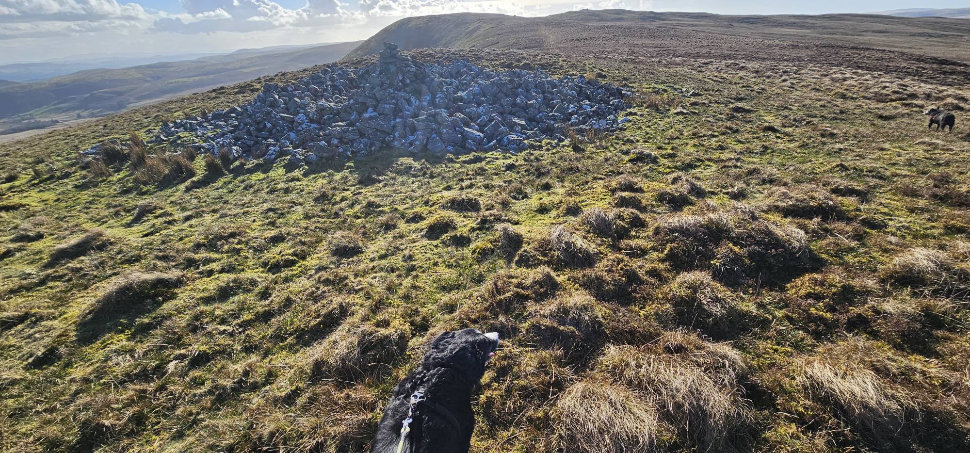
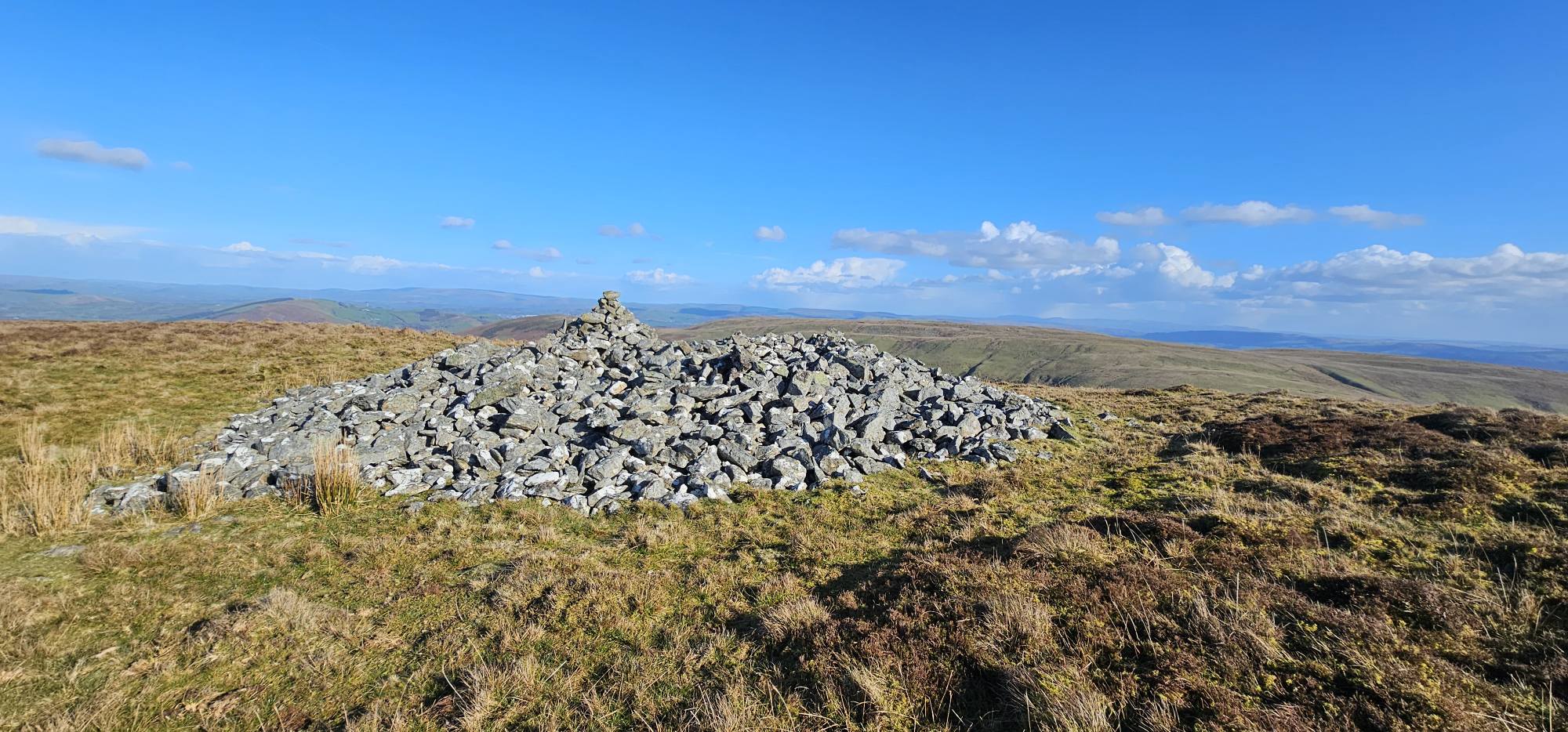
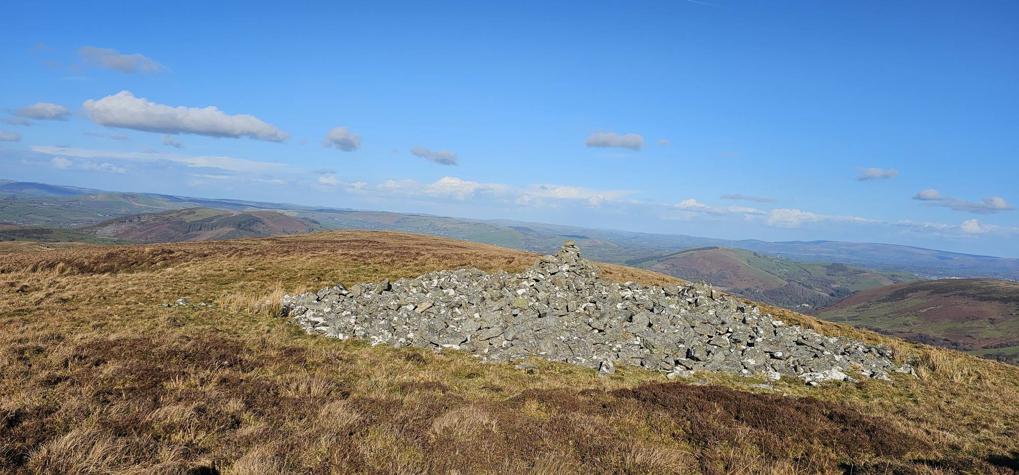
Possible Cairn
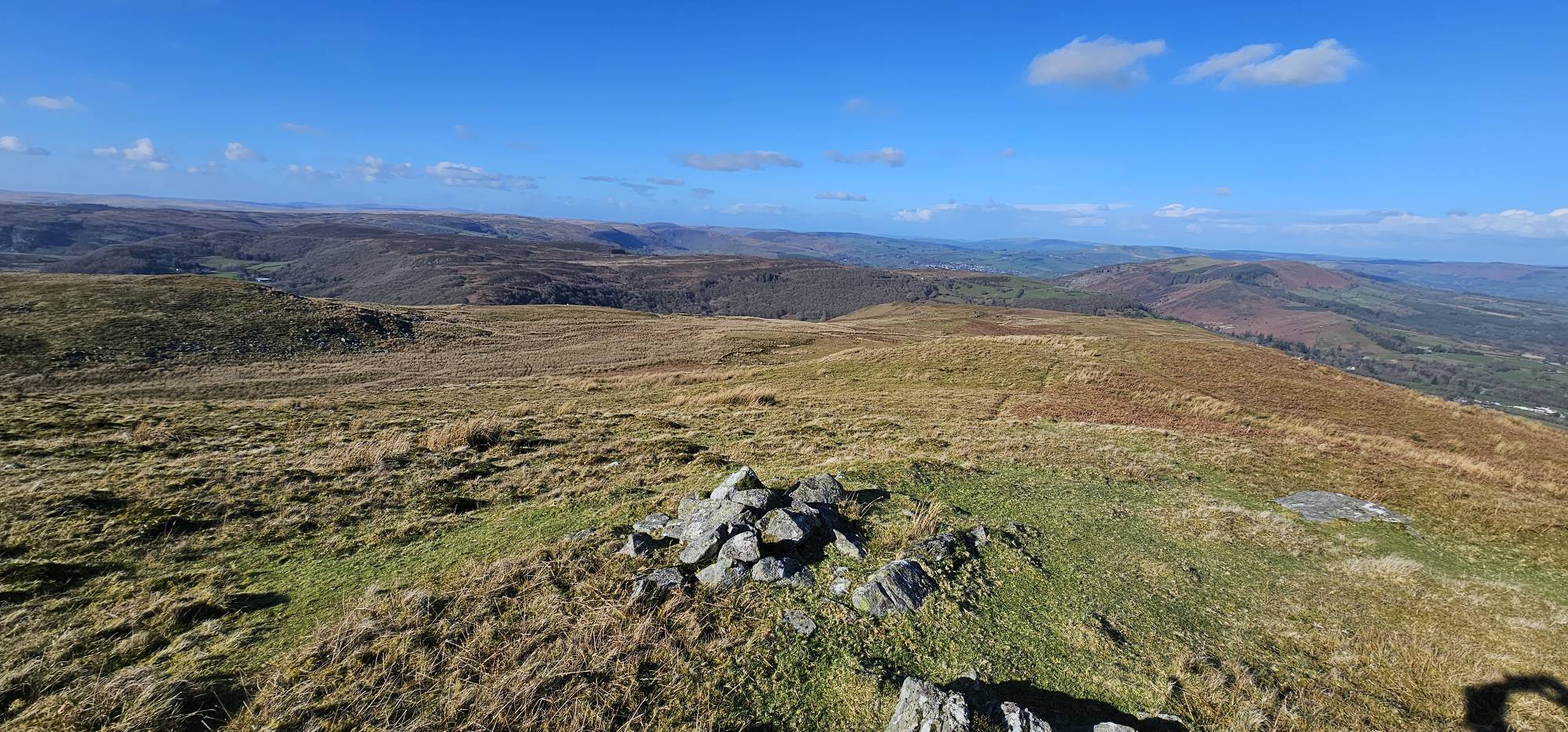
Explore the landscape
Explore on the map
Mapped sites are based on recorded Ordnance Survey grid references. Select a marker for more details.
Zoom and drag to explore. Ordnance Survey Leisure mapping is used when a site-restricted OS key has been configured; otherwise OpenStreetMap is displayed.