Ancient landscapes · Elan Valley
Elan Valley Past & Present archiveOutside of The Elan Valley
Ancient sites outside the Elan Valley Estate.
Area Overview
View the wider areas map to see where other sites sit in relation to the Elan Valley landscape.
Open Full Area Map
Sites outside the Elan Valley
Browse the known ancient sites in this part of the area.
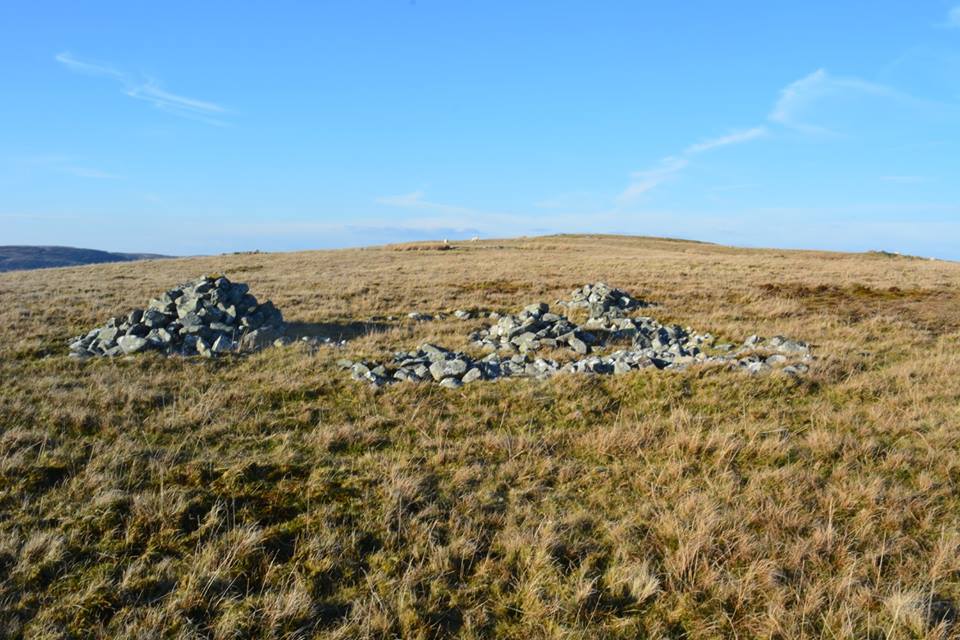
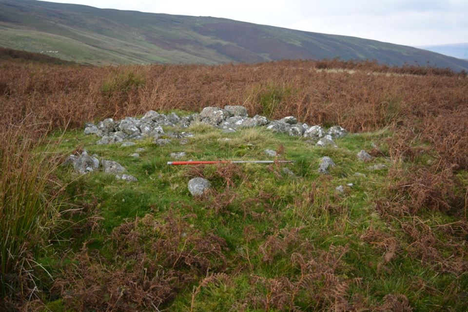

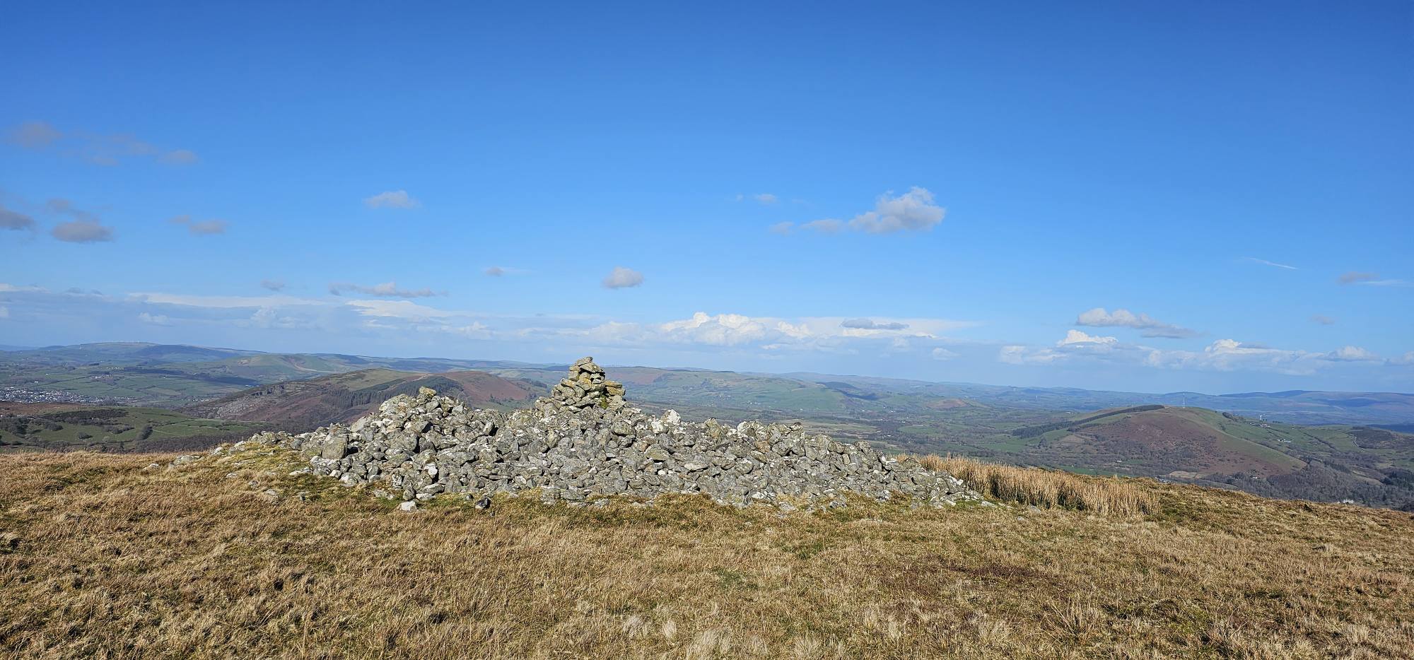
Craig Ddu Sites
The area to the south east of the Elan Vaaley. The site has remains of some very large cairns.
Map Ref: SN957 622
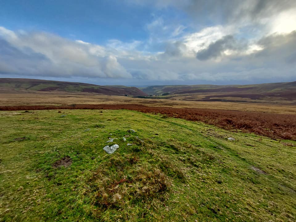
Explore the landscape
Explore on the map
Mapped sites are based on recorded Ordnance Survey grid references. Select a marker for more details.
Zoom and drag to explore. Ordnance Survey Leisure mapping is used when a site-restricted OS key has been configured; otherwise OpenStreetMap is displayed.