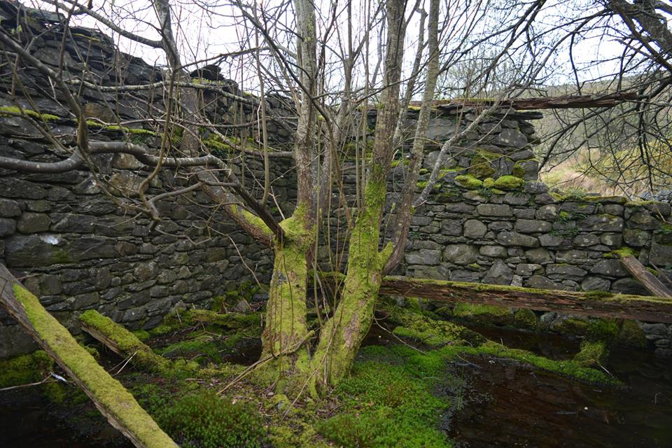
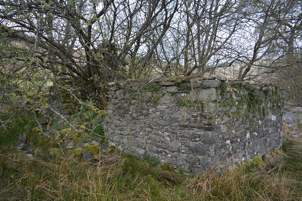
Elan Valley Abandoned Buildings
There are many old ruins of structures and buildings in the Elan Valley. This page will add photos and details of these ruins, more will be added as and when I visit them.
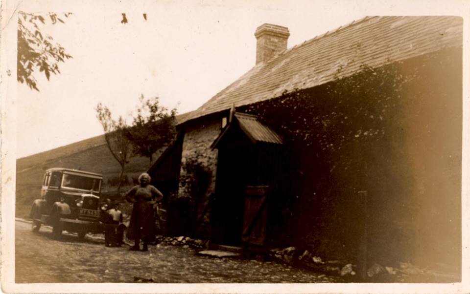
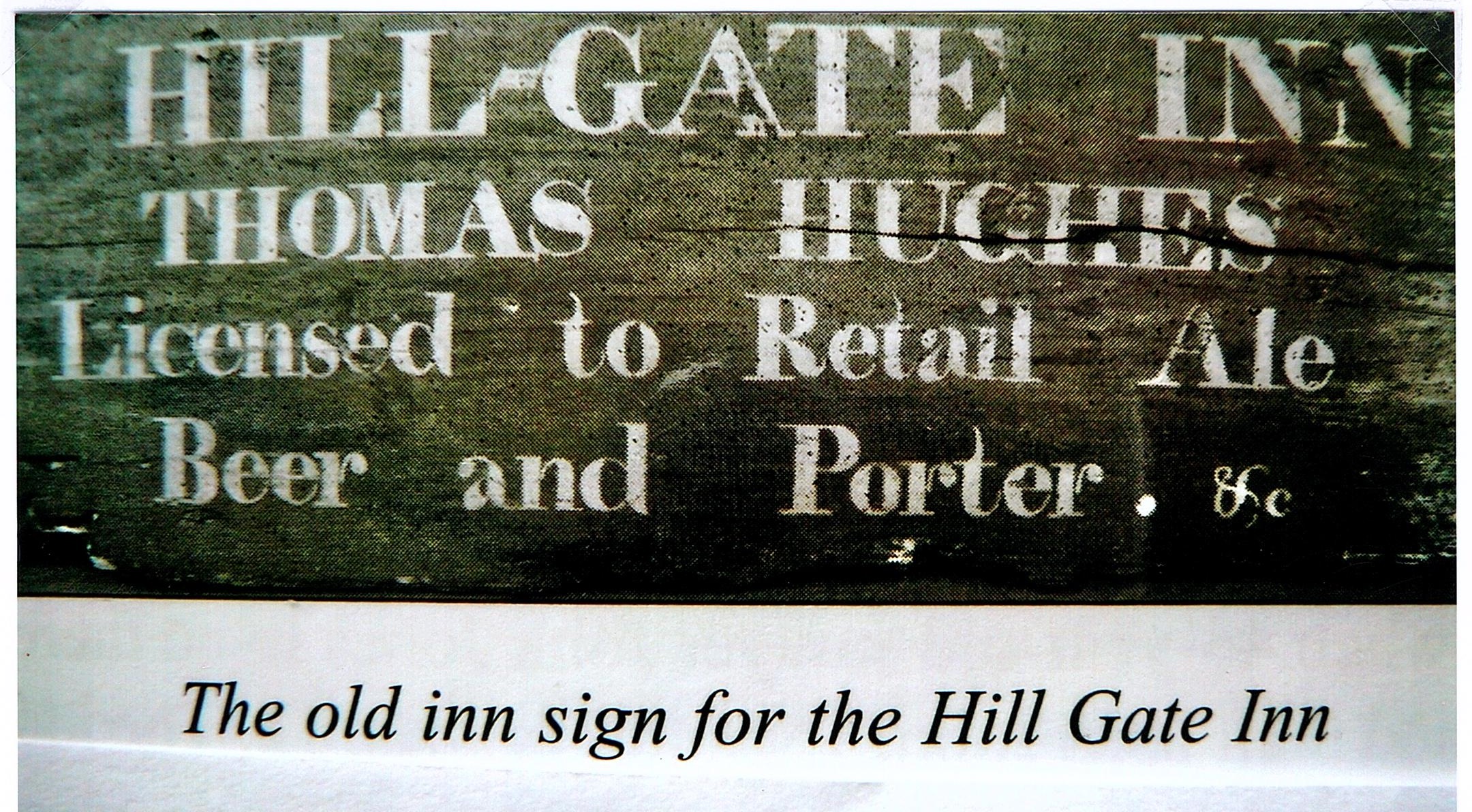
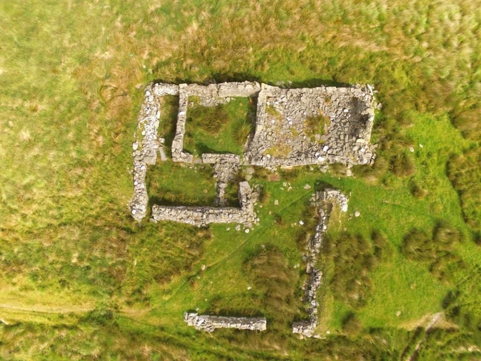
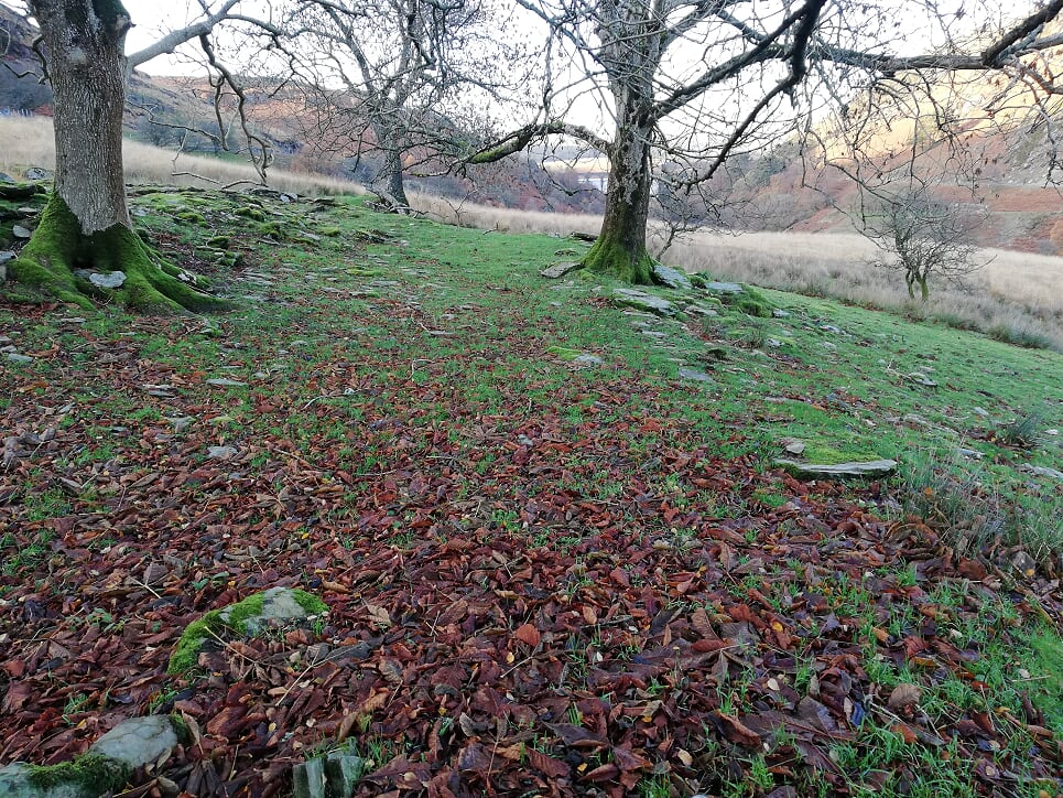
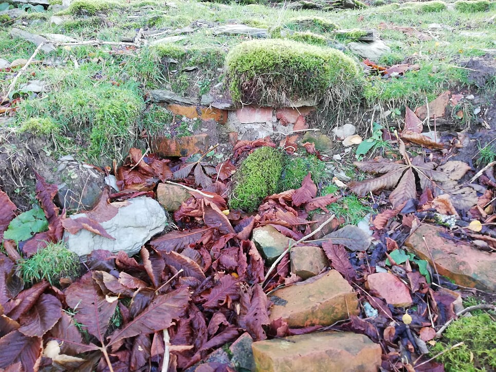
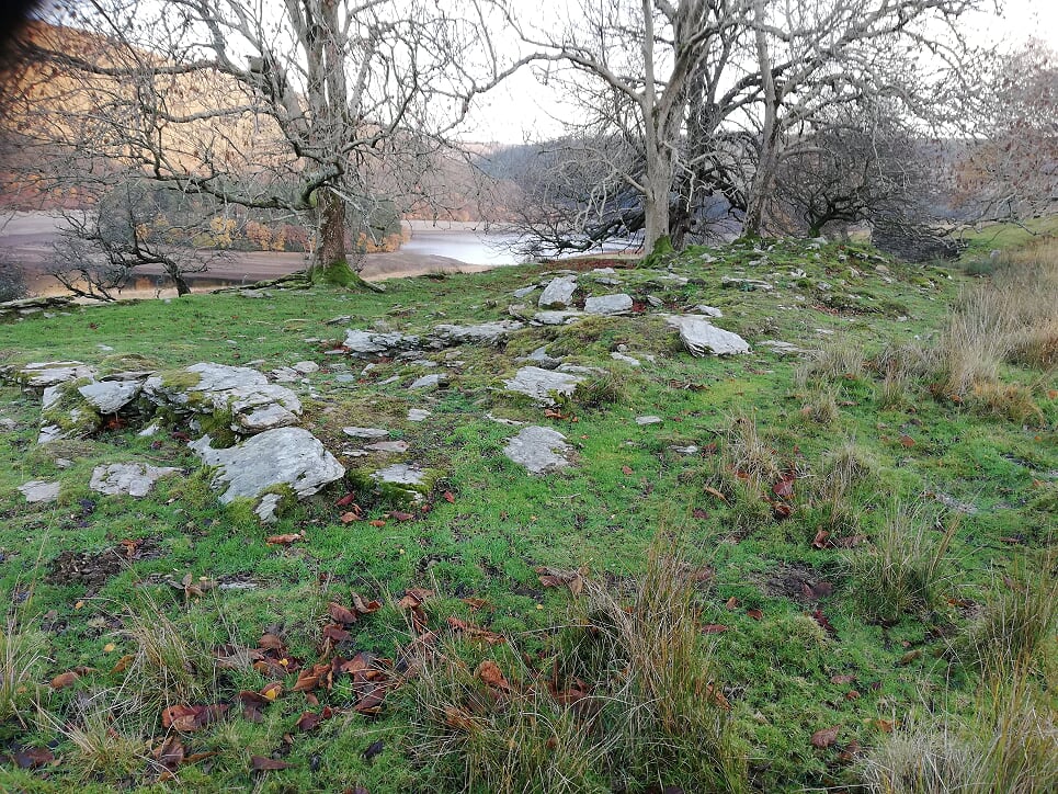
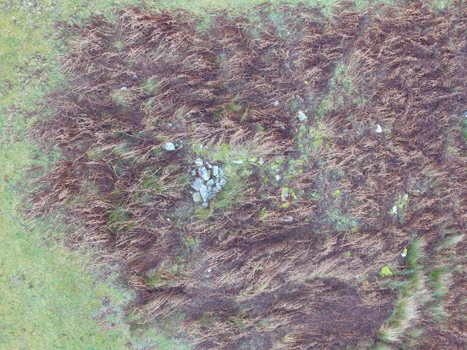
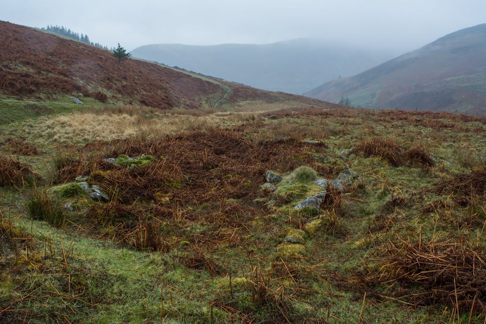
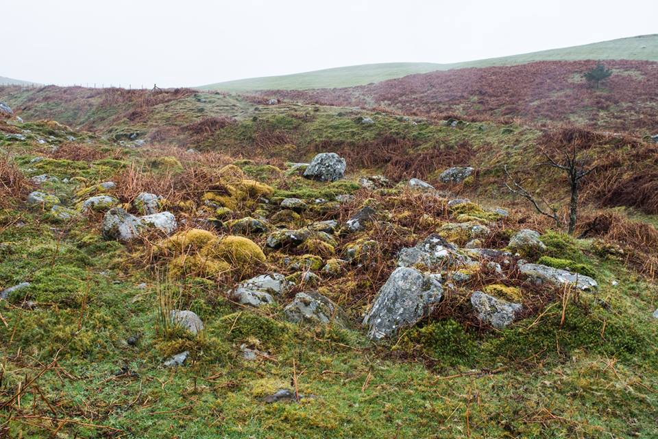
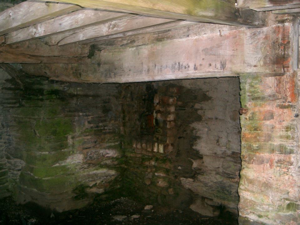
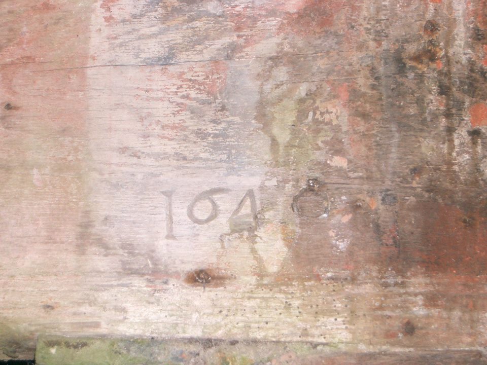
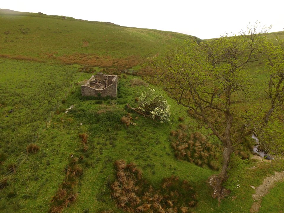
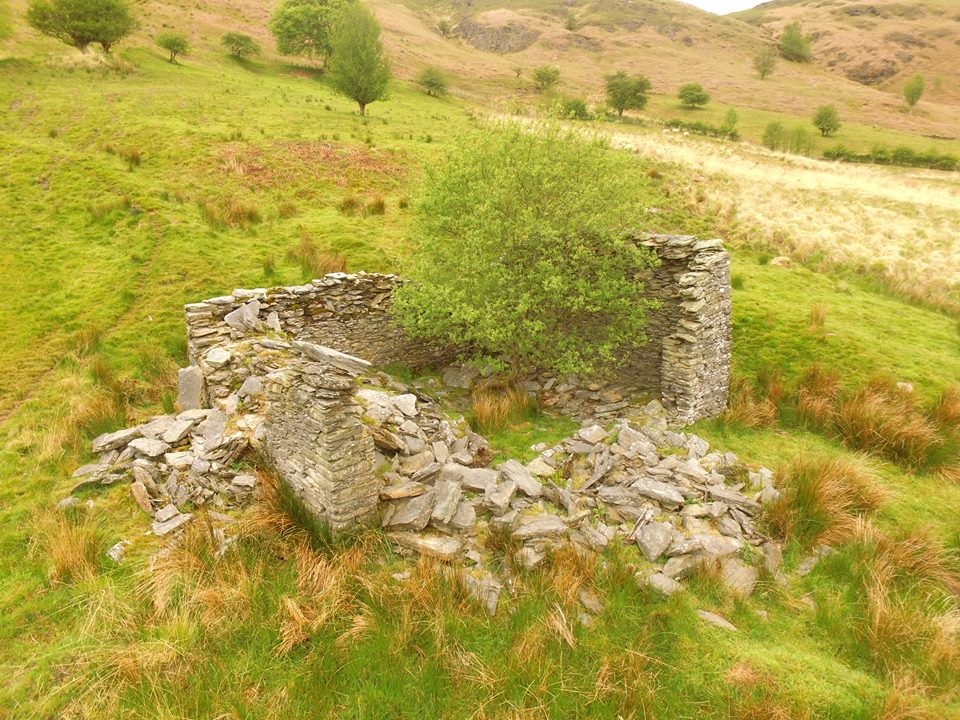
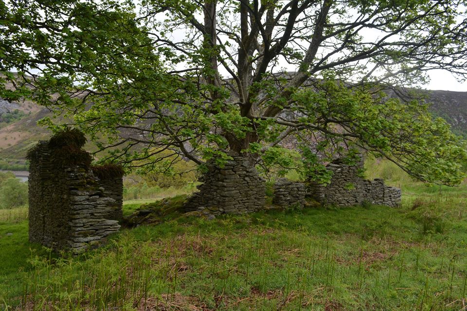
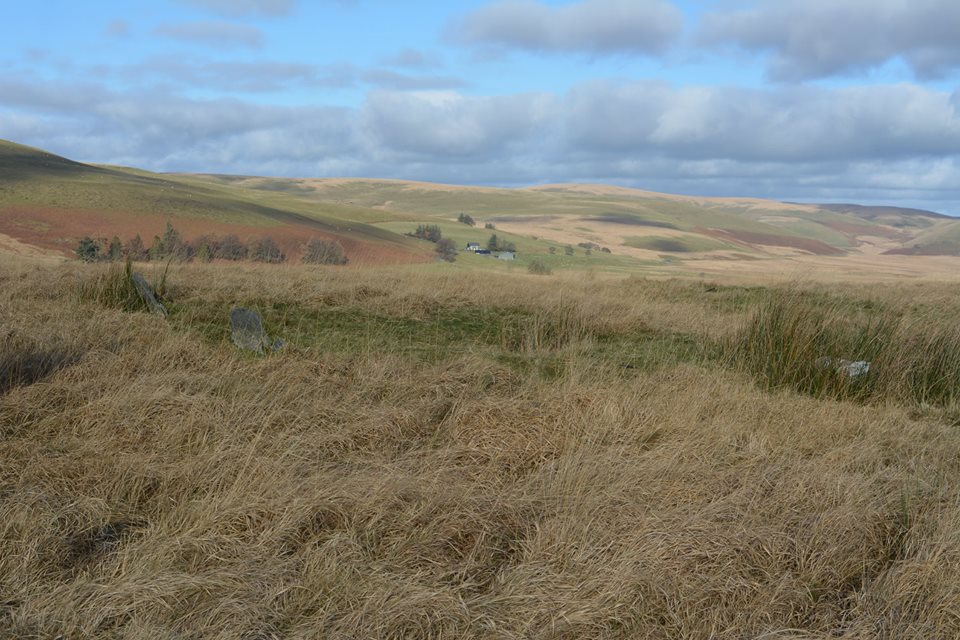
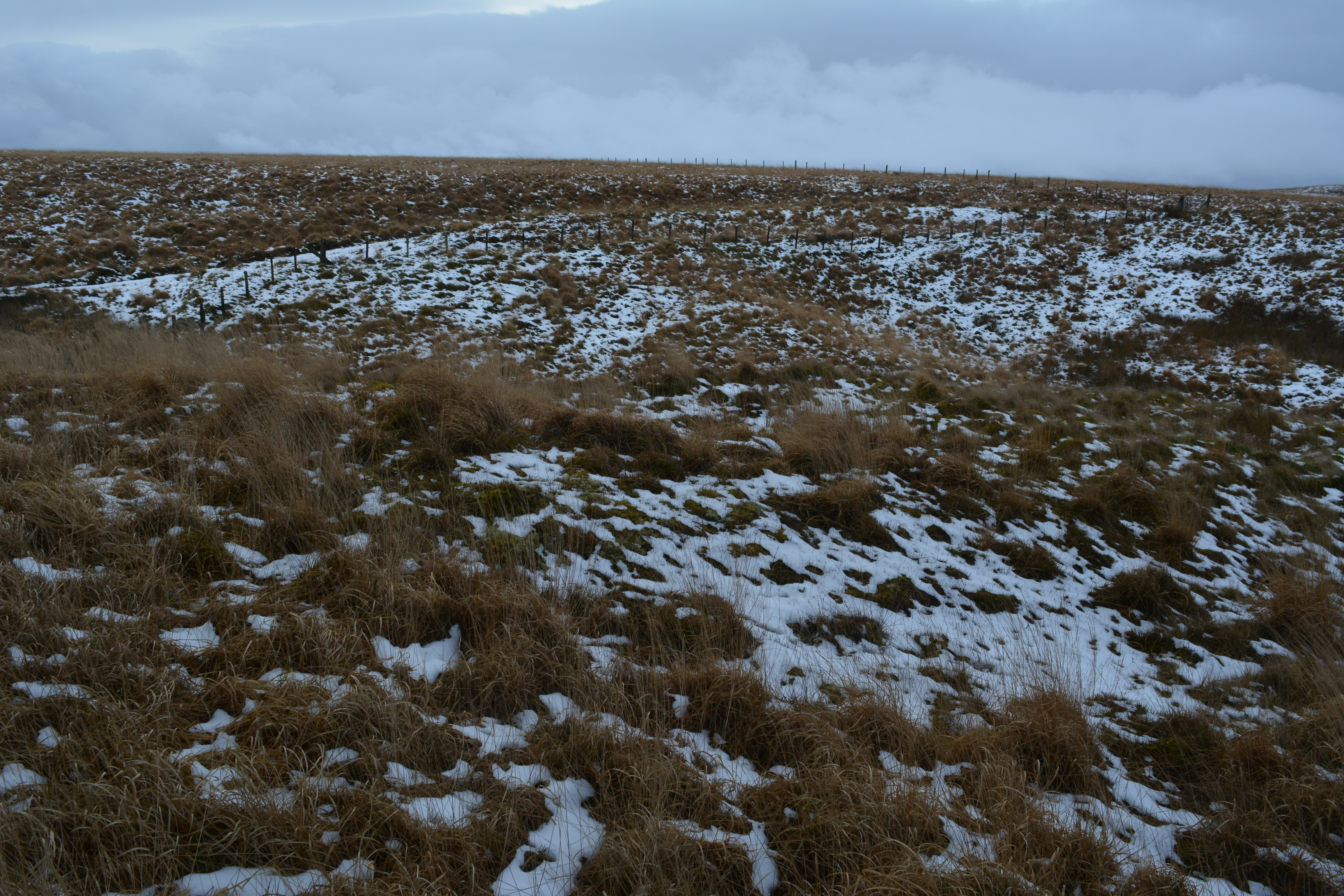
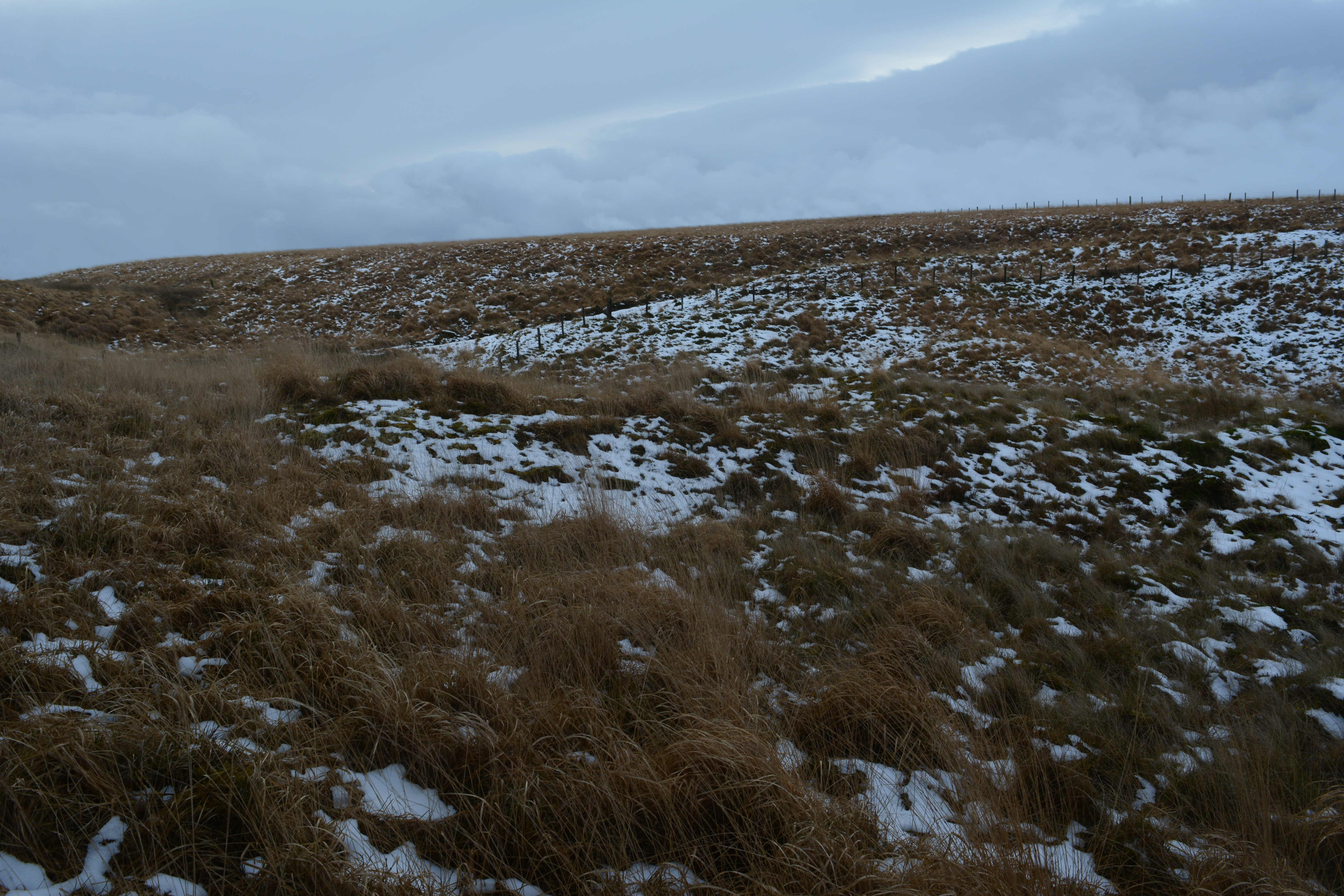
Tyrpeg y Mynydd
Tyrpeg y Mynydd (the Mountain Turnpike) which was on the Old Aber Mountain road, also known as Hillgate or
Llidiart y Mynydd, was once a turnpike gatehouse. It was also a Inn at one time. Little remains of the former building now. Top two photo is marked 1932.
Map Ref SN87067408


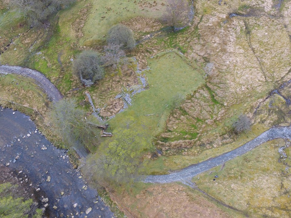
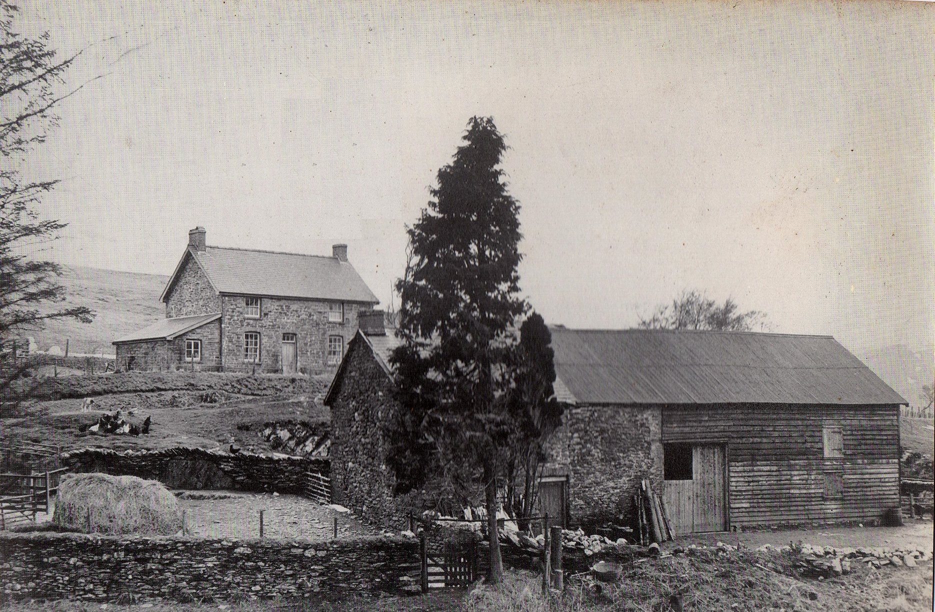
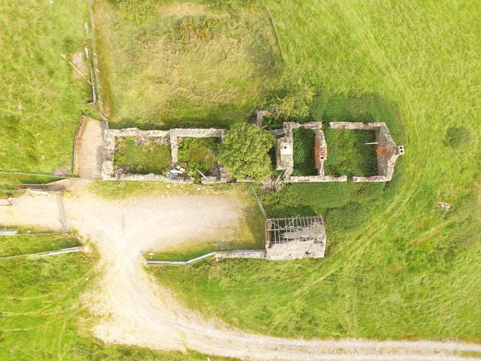
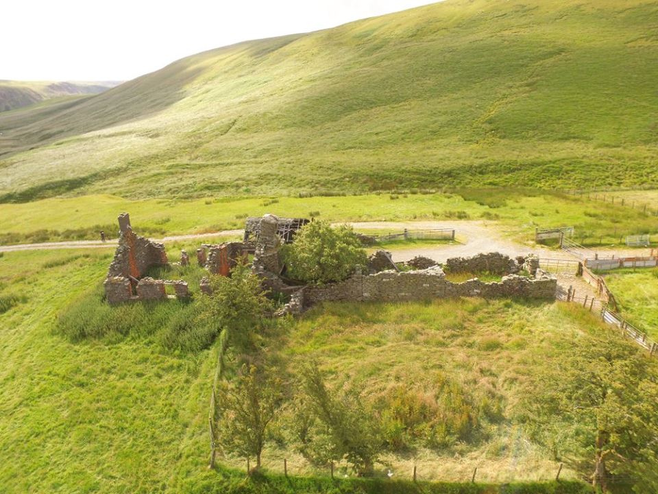
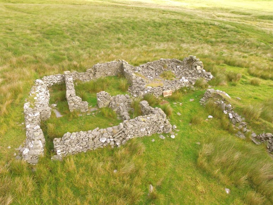
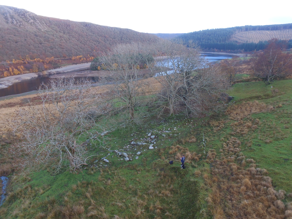
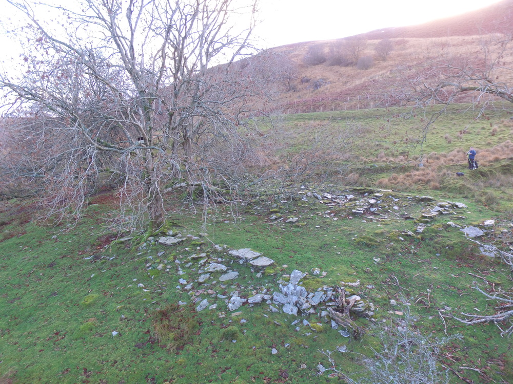
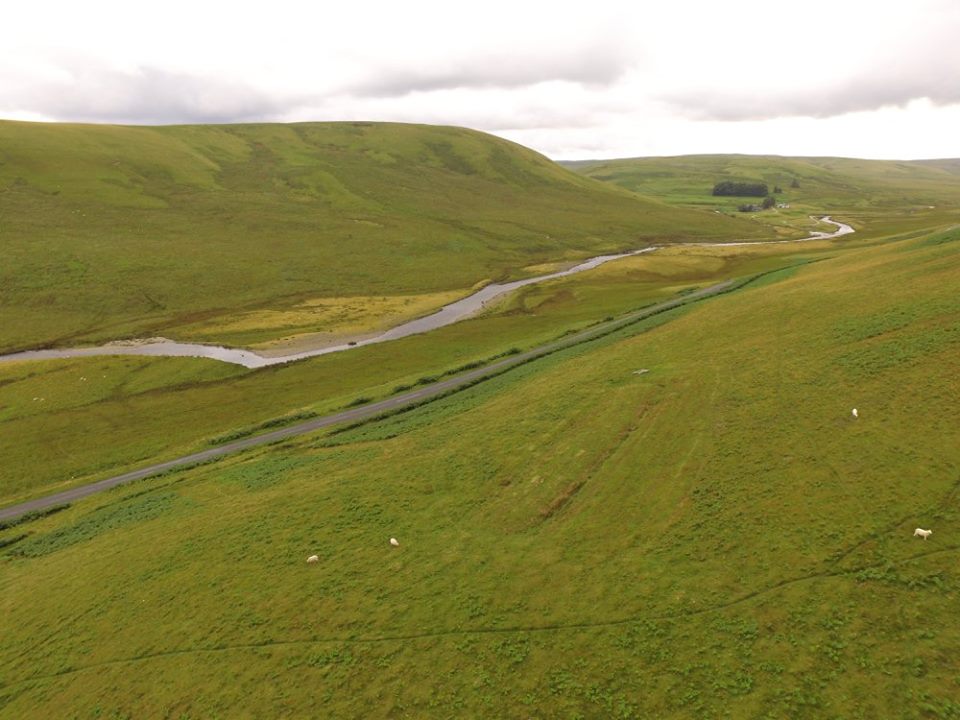
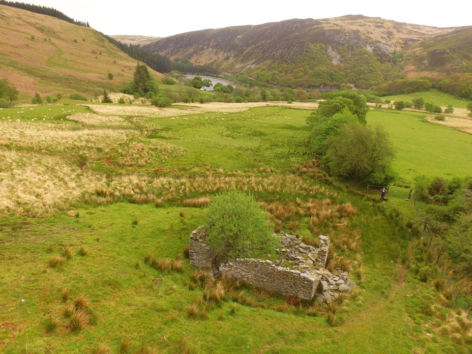
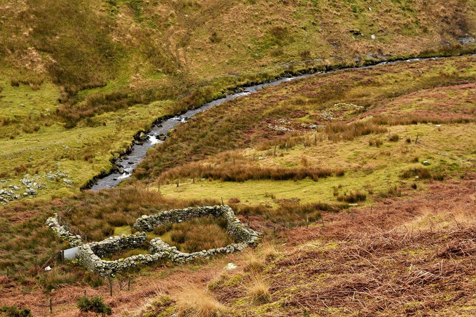
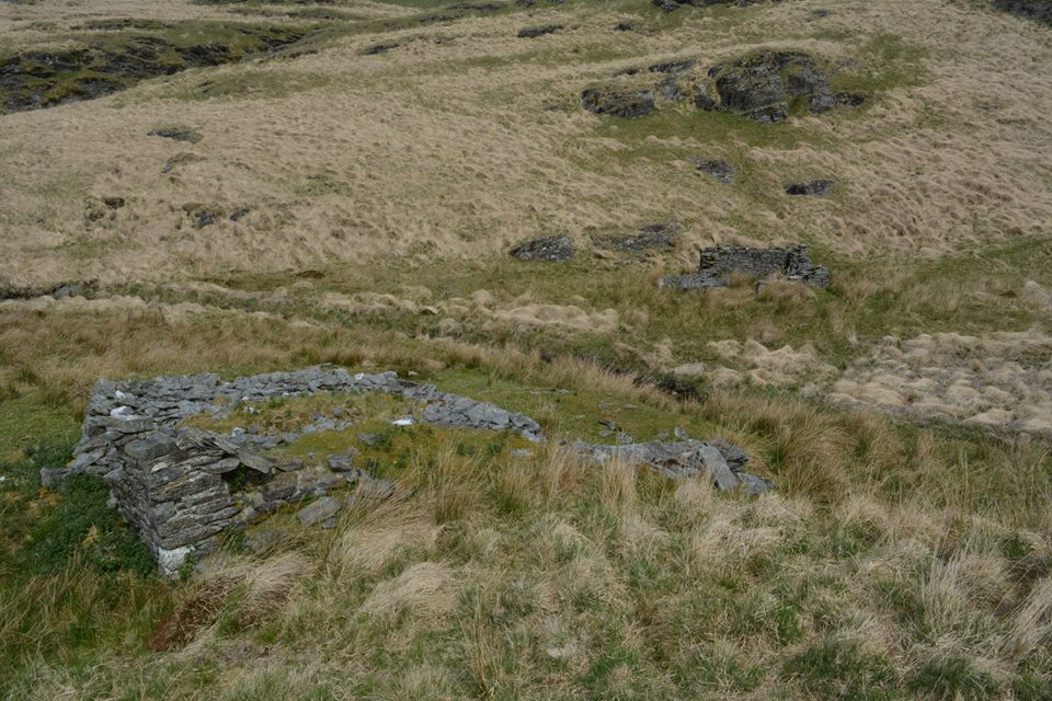
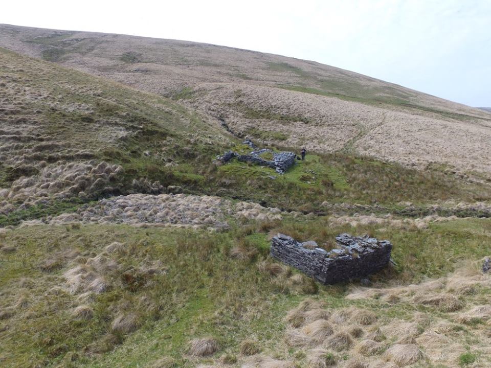
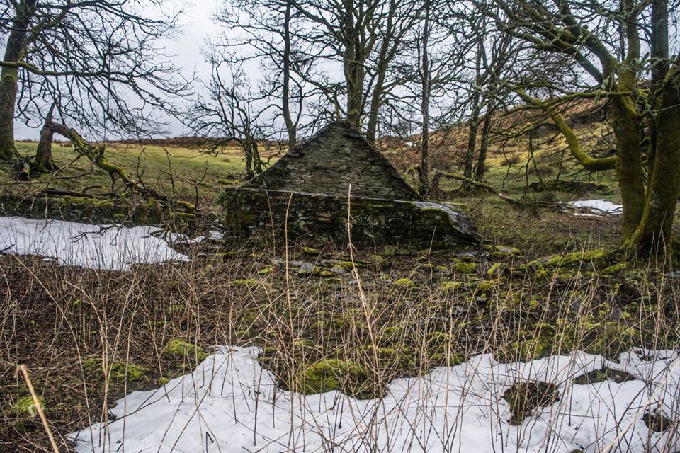
Nant Y Car Farm
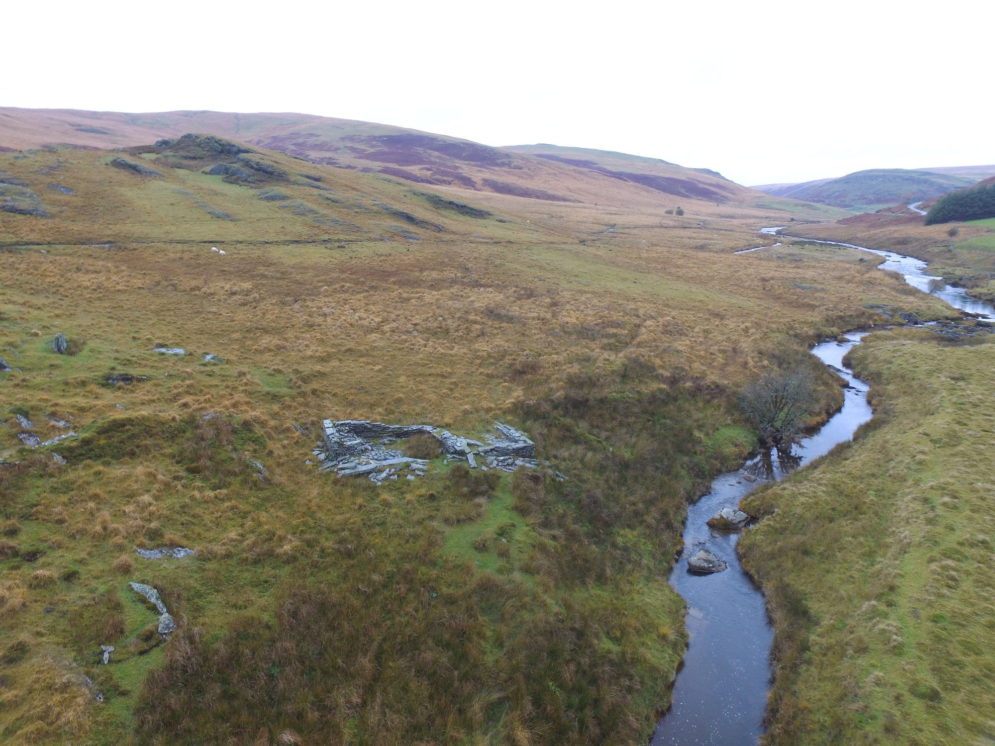
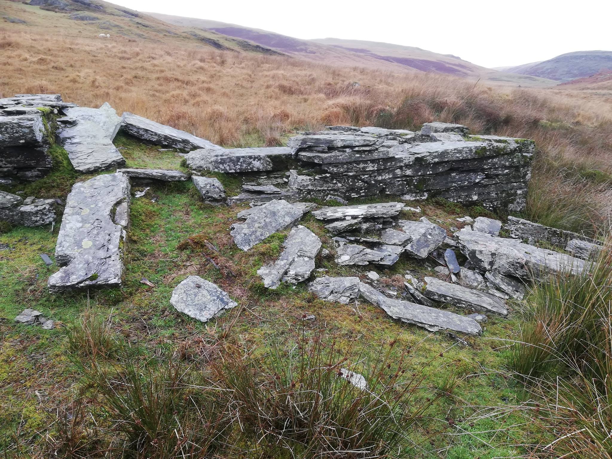
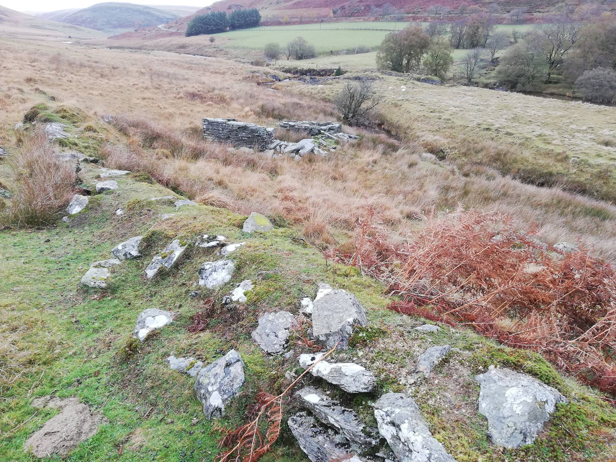
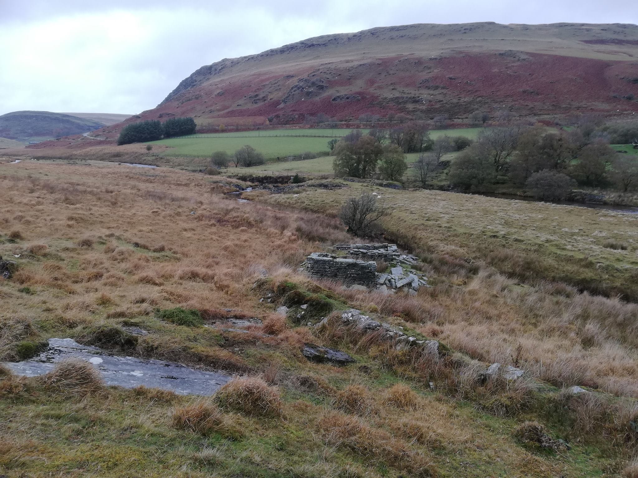
Nant Y Car Farm up the Claerwen Valley, the farm was deserted due to the construction of Dol y Mynach Dam,
which was a shame due to Dol y Mynach Dam not been fully constructed to it's full height which resulted the farm not been flooded.
Map Ref SN885 622


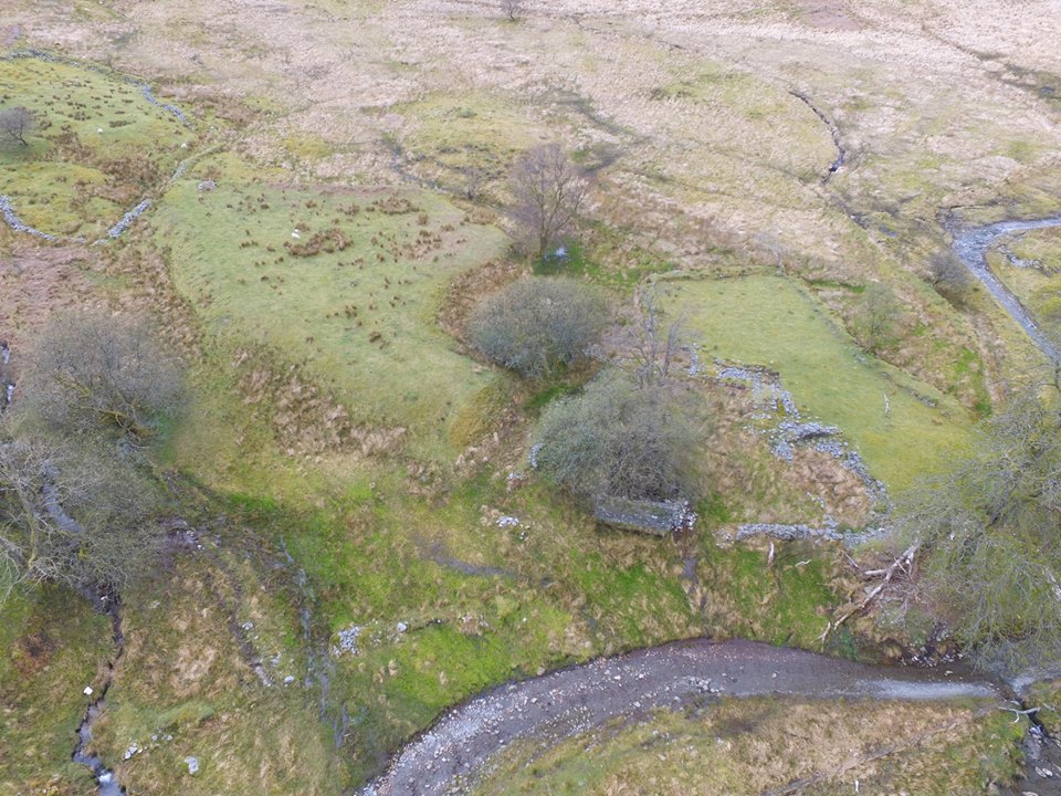
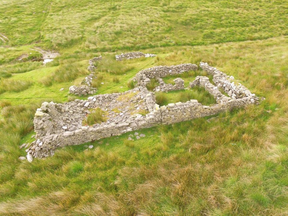
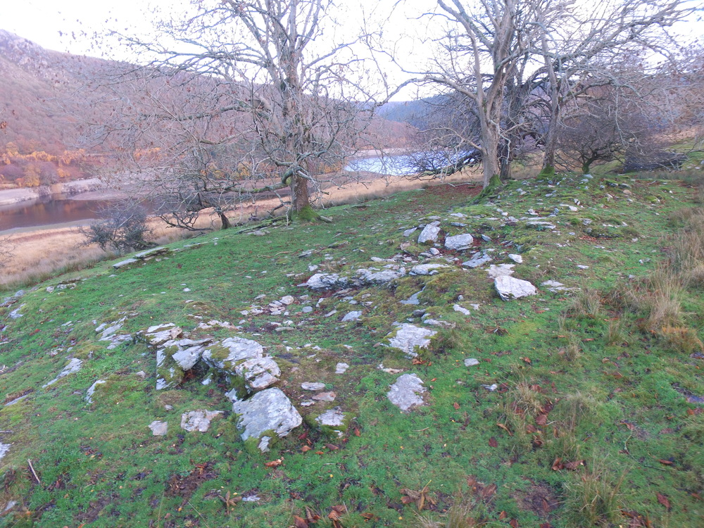
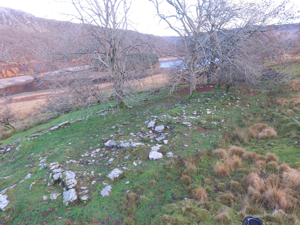
Bryniago
Bryniago, Claerwen Valley Former home of John and Elizabth Price.
The house was abandoned when there was plans to buid Cil-Oerwynt Dam downstream of the building.
The dam was never built, Claerwen Dam was built further upstream instead.
Map Ref SN8814 6279


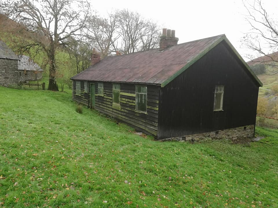
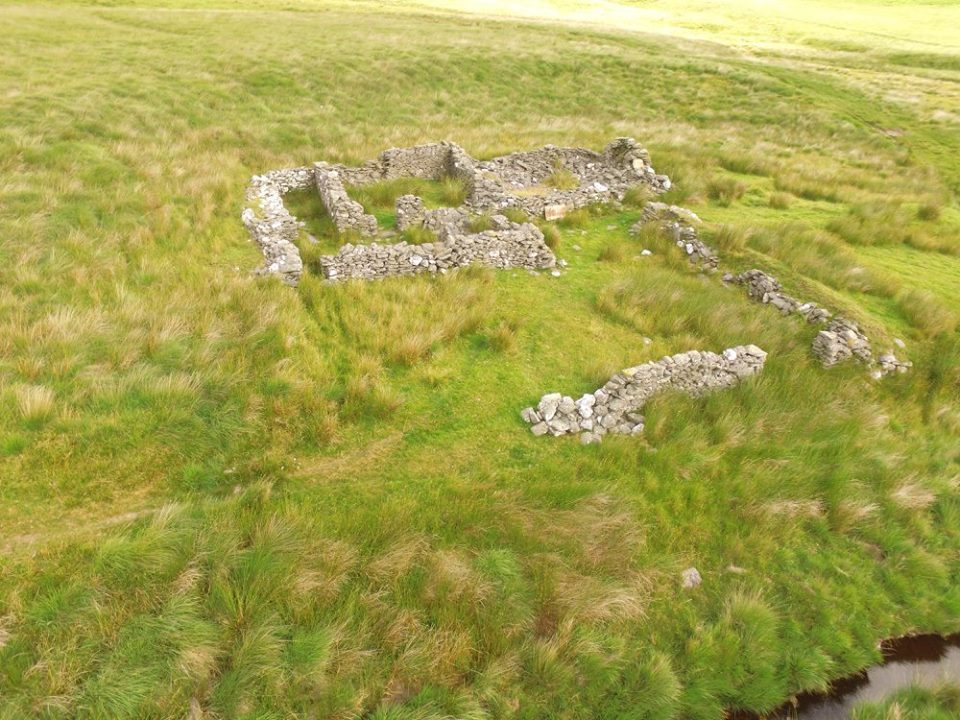
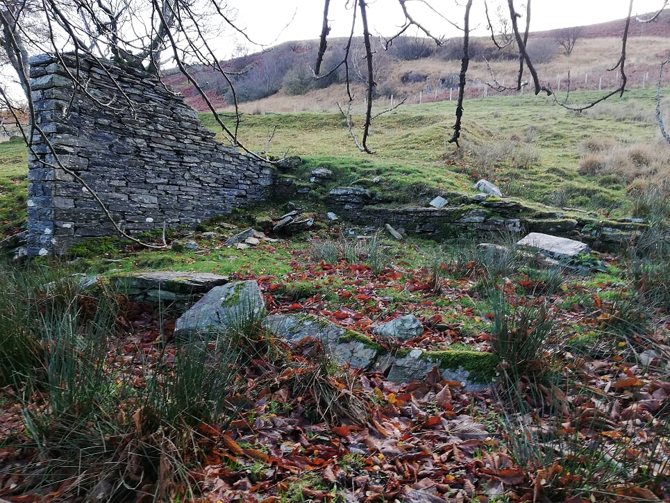
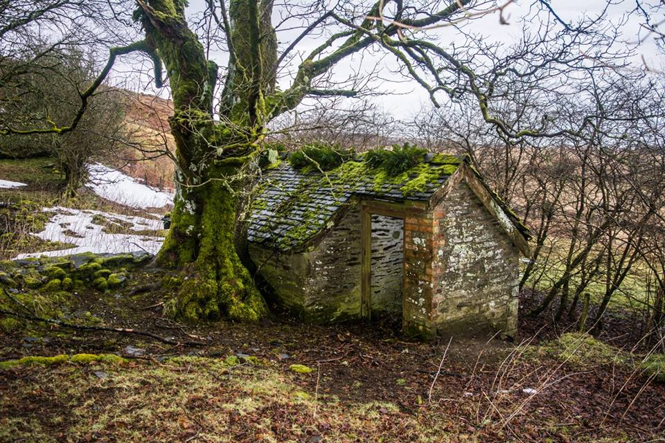
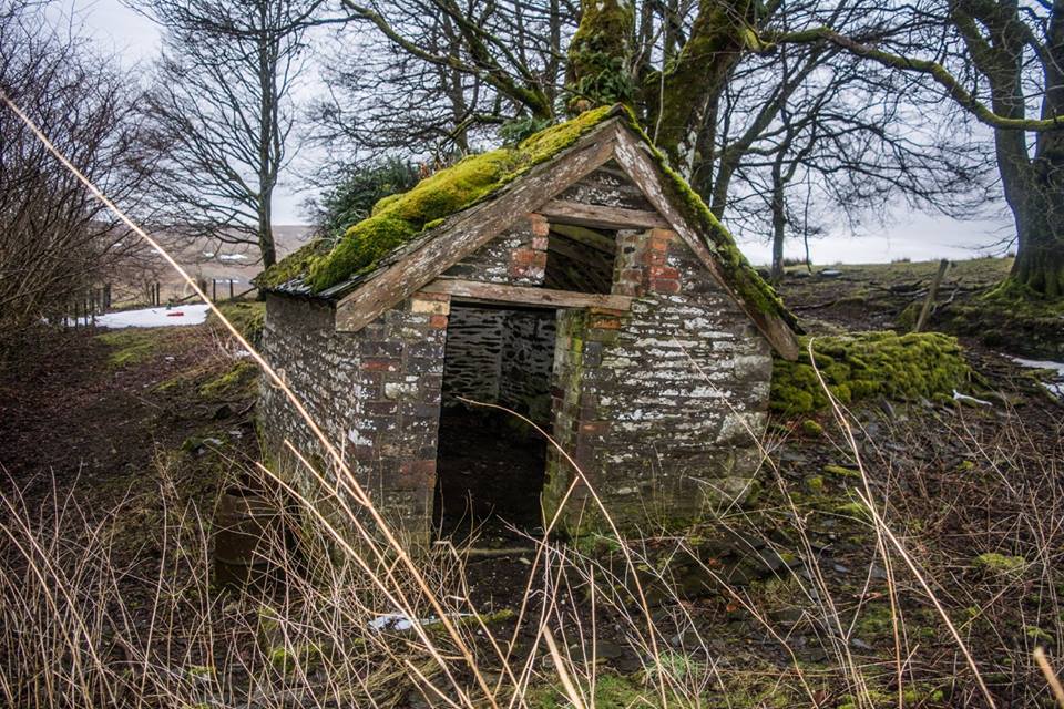
Cwm Clyd
Cwm Clyd Farm. The stone building is the original house with a outside toilet.
The black building I believe was erected for the workers during the construction of the dams.
Map Ref SN891 622


Hirnant
Hirnant with the old Hirnant House behind the trees.
Photo courtesy of Huw Davies.
Map Ref SN888 699
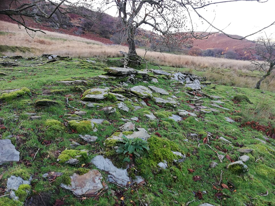
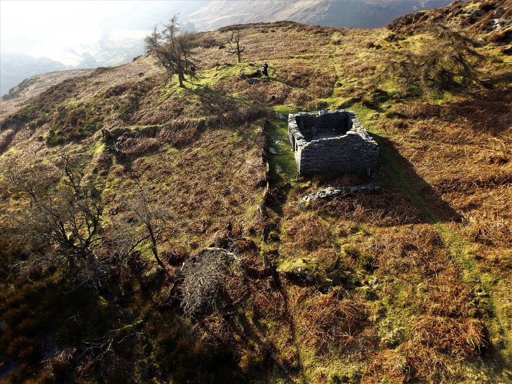
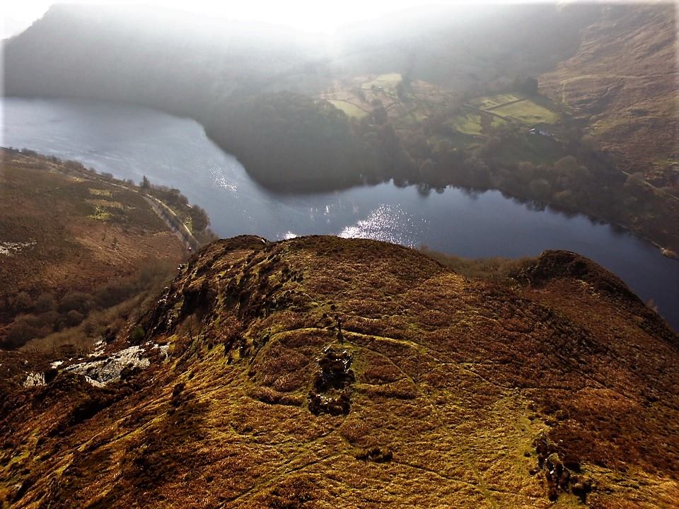
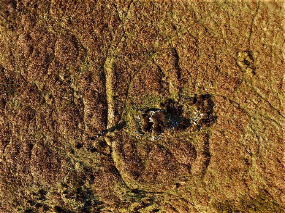
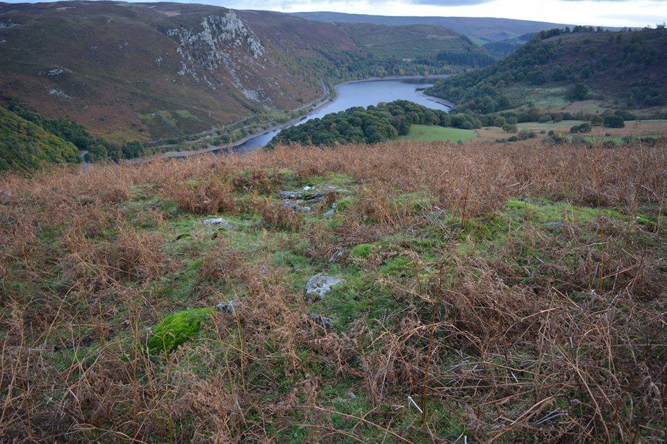
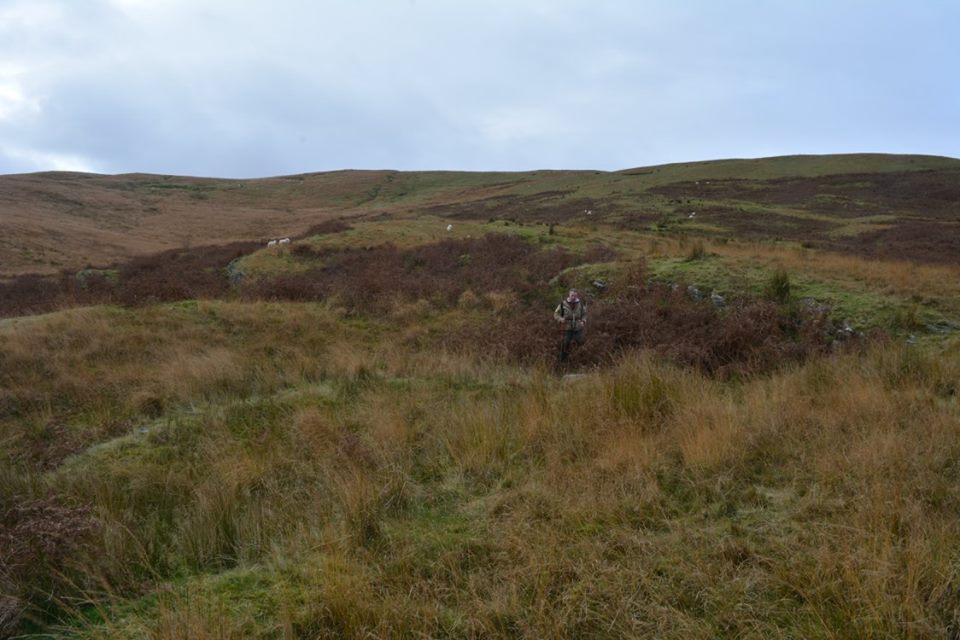
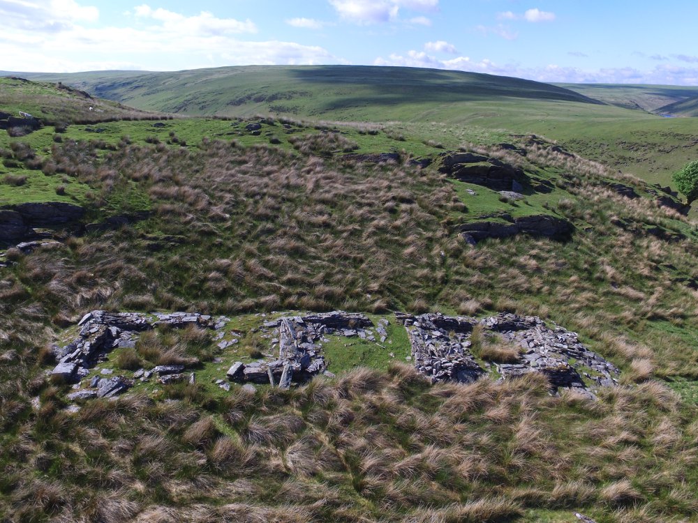
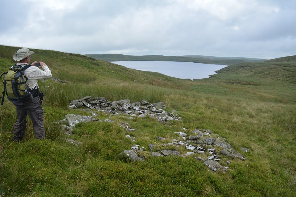
Lluest Aber Caethon
Lluest Aber Caethon is a short distance from Craig Goch Dam.
It's a 19th Century farm house with farm buildings, One of the chimneys is leaning and looks like it could topple over.
Map Ref SN87500 68820


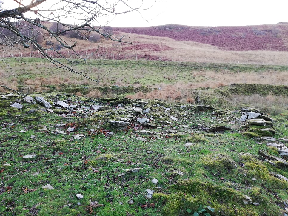
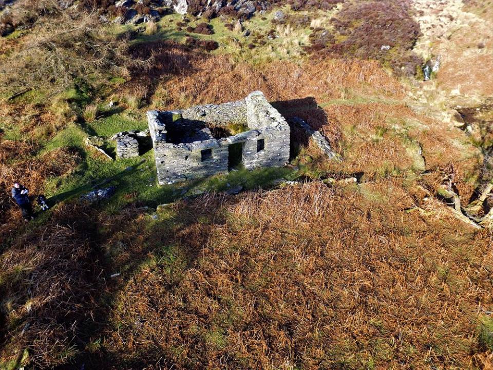
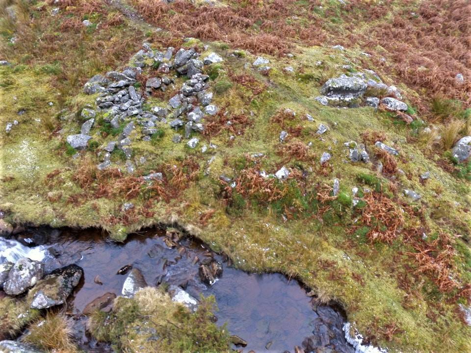
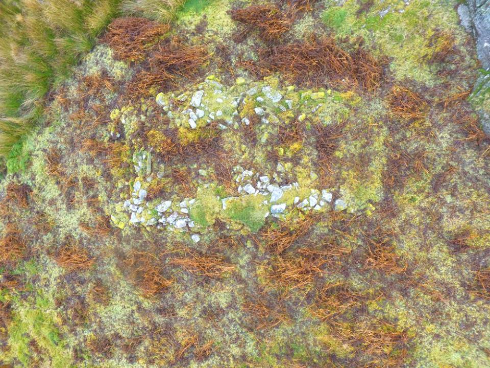
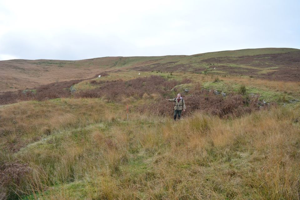
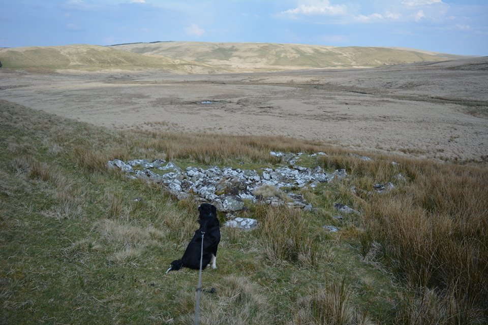
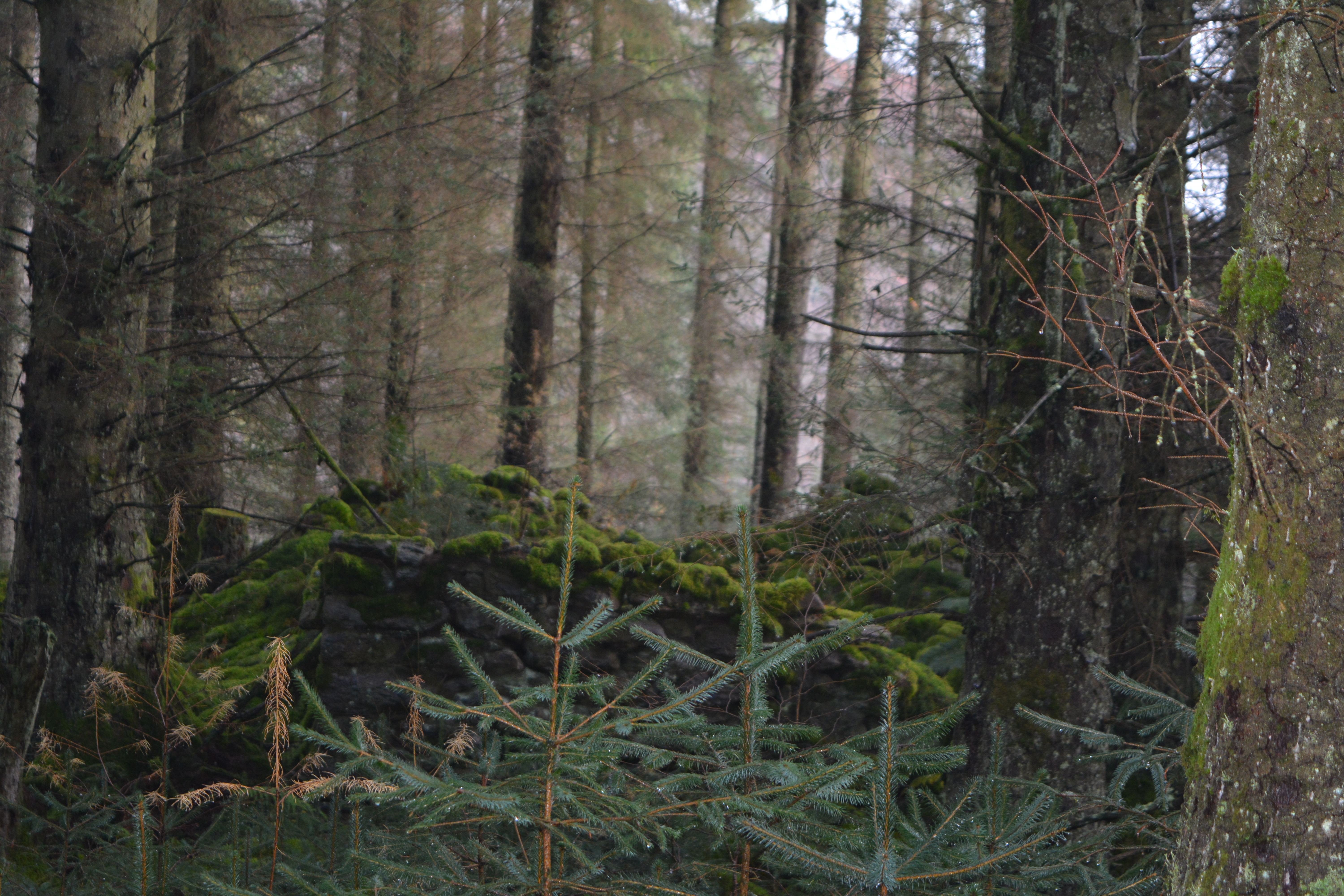
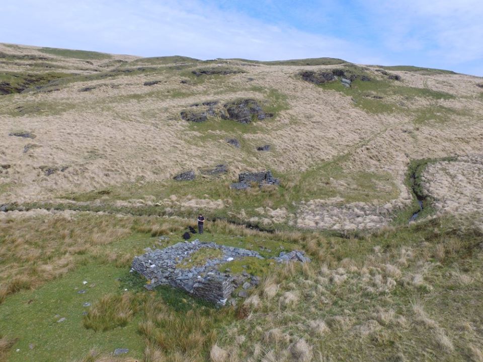
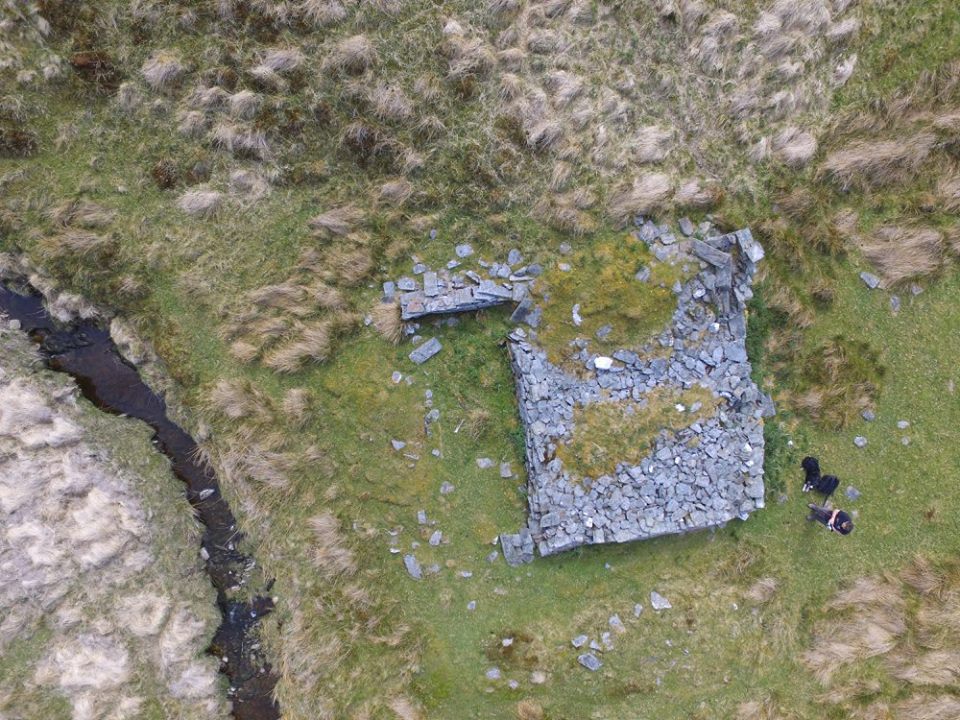
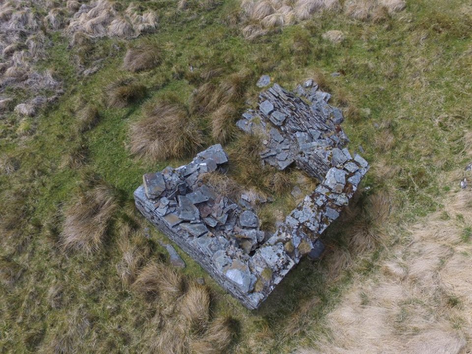
LLuest Calettwr House
Ruins of LLuest Calettwr House. Remains of a mid-late 18th century mudstone/quartz house, a short distance from Lluest Aber Caethon
Map Ref SN87060 68980
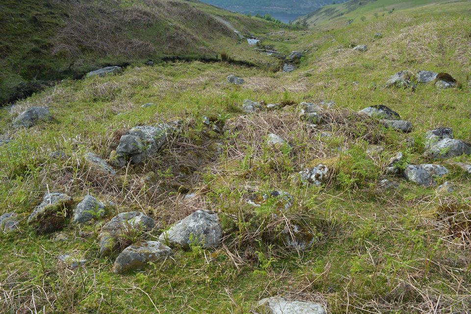
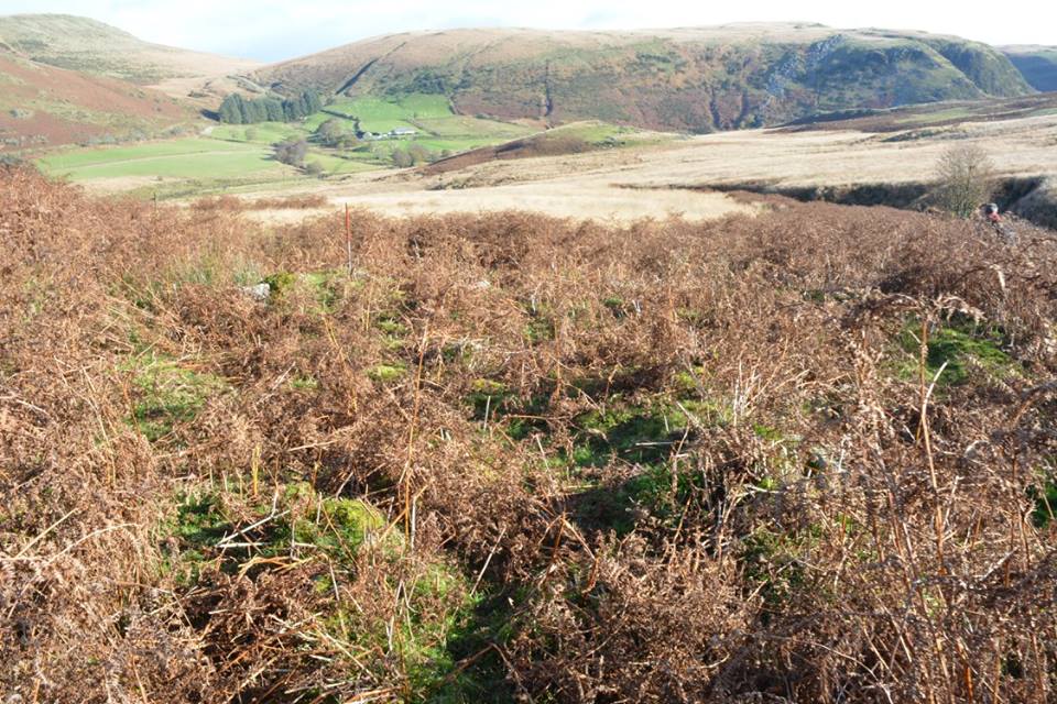
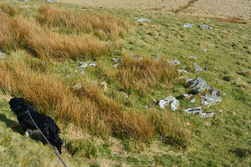
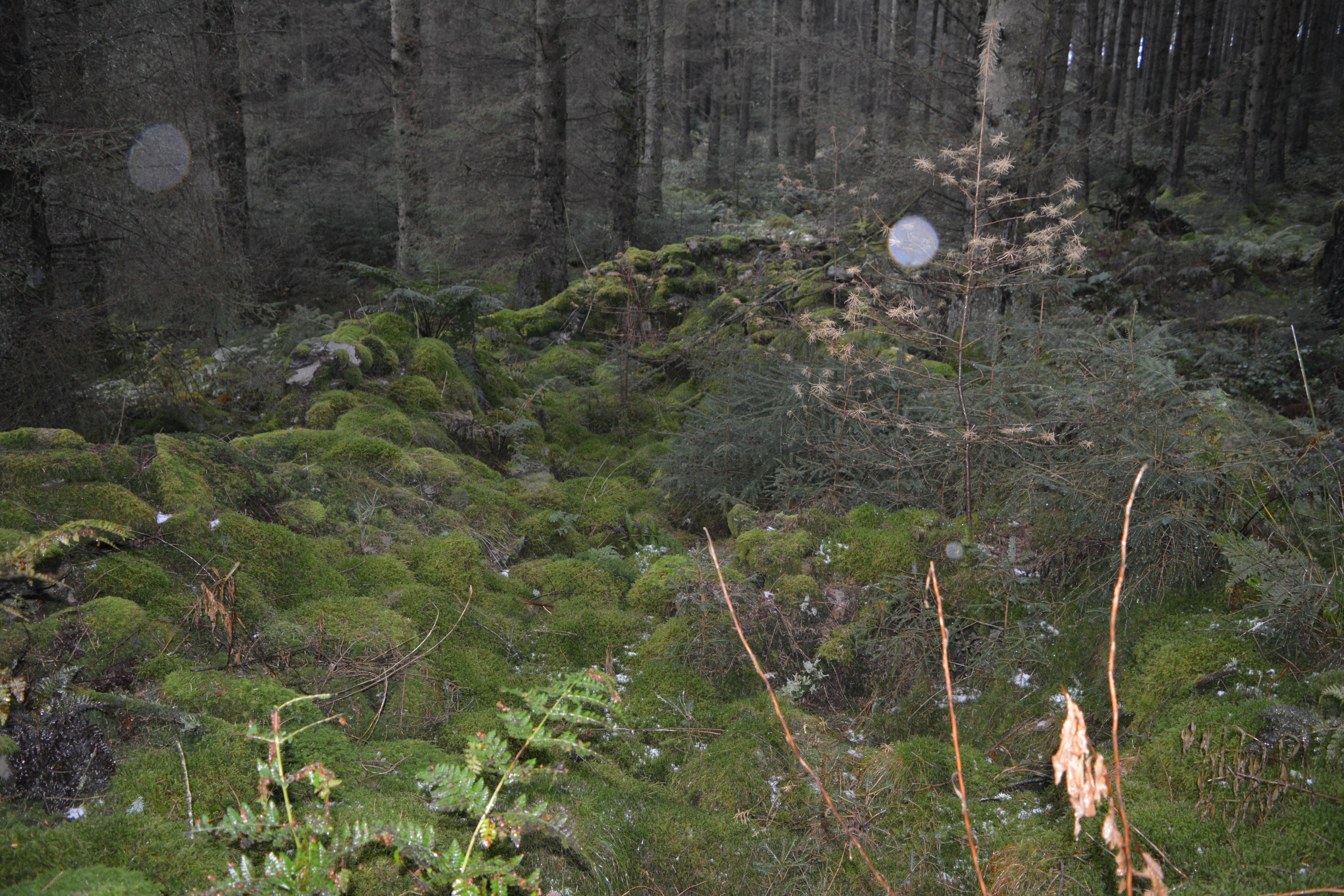
Clettwr Troedrhiwdrain
Remains of Clettwr Troedrhiwdrain Farmstead, 13m x 5m of mudstone & quartz construction.
Map Ref SN86960 68901

Esgair Beddau House
Remains of Esgair Beddau House, not far from Lluest Aber Caethon
Map Ref SN86410 68640


Fuches Sheep Fold
Remains of Fuches Sheep Fold.
Map Ref SN86080 68480

Hafod Allt Coch Barn
Remains of Hafod Allt Coch Barn
Map Ref SN9081 6774


Llanerch Llwyn
Remains of Llanerch Llwyn, a deserted farmstead above Pen Y Garreg Reservoir.
Map Ref SN895 680


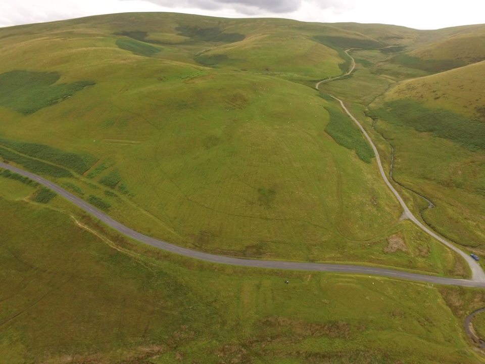
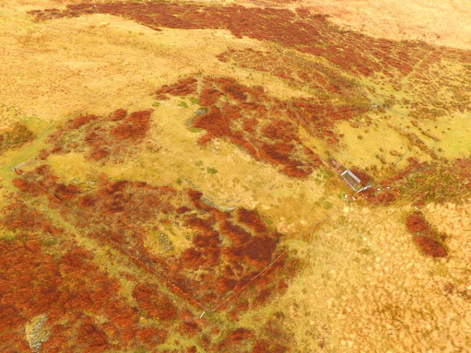
Esgair y Ty Pillow Mounds
Esgair y Ty pillow mounds and house on Esgair y Ty. A Medievial Rabbit Warren. The largest of the mounds is approximately 40m long,
the shortest approximately 9m. All are in a good state of preservation and obvious landscape features. Six of the pillow mounds are on the hillslope to
the north of the modern Cwmystwyth to Rhayader road (which follows the line of the late 18th century turnpike road and an earlier road). Two others lie
side by side to the south of the road, possibly detached for a specific reason, as they are located close to a large building platform, NPRN 502521,
first noted in 2009. This platform has been dissected by the road, but either side of the road there is evidence of a building that stood on the platform.
It may be speculated that there was a house here that may have served as the warrener’s house associated with the rabbit warren.
The pair of pillow mounds to the south of the road and close to the building platform could conceivably have been reserved for breeding does,
hence their separation from the main pillow mound group on the higher slopes.
Map Ref SN8976 7213

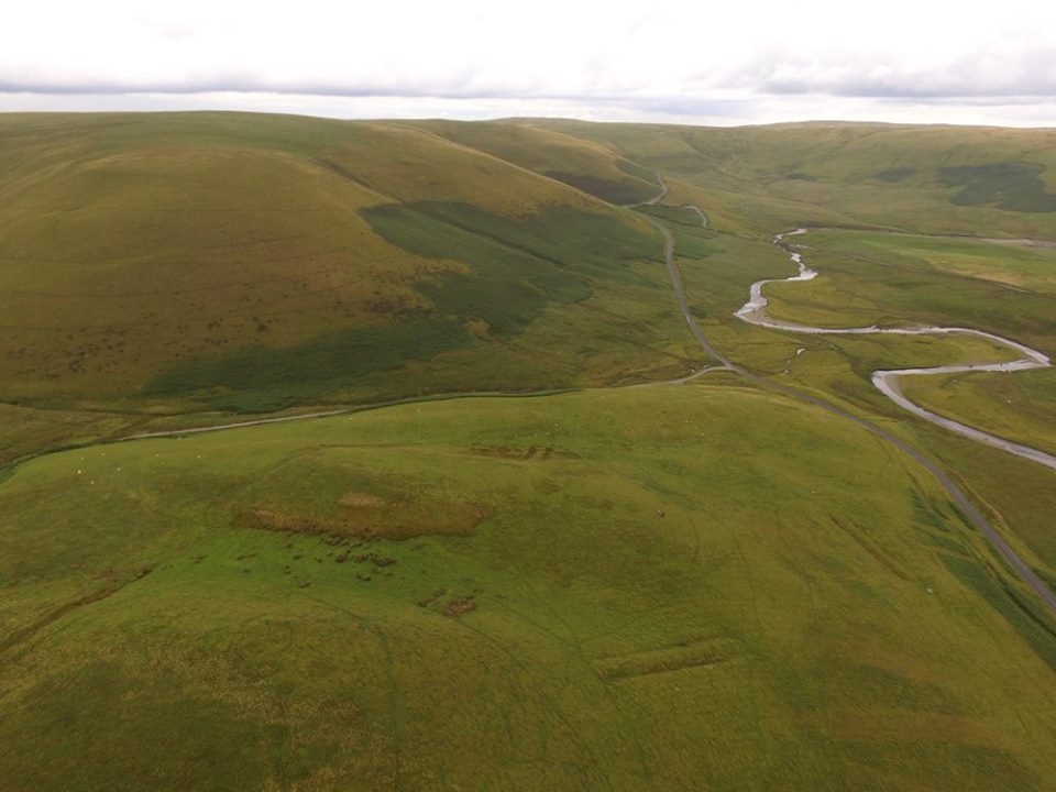
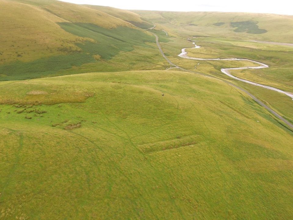

Esgair Y Ty House
Remains of Esgair Y Ty House, 10m x 8m.
Map Ref SN89761 72493

Cwm Nant Y Fald Enclosure
Remains of Cwm Nant Y Fald Enclosure, just above Esgair Y Ty House, 11m x 4m.
89757 725283

Pant Y Cerdin
Pant Y Cerdin known locally as Penebw, a Post Medieval house on Y Glog.
Map Ref SN9166 6628


Unrecorded Hut
A unrecorded hut or post-medieval cottage, it's like two buildings joined together, about 15m x 5m overall,
with a central wall at least 1m think, one building roughly 8m x 5m and the other building 6m x 4m.
Map Ref SN91560 66190
Possible Sunken Shelter
Possible Sunken Shelter or a Fold on Nant Y Gro Stream, 7m x 4m
Map Ref SN92622 62546.


Possible Sunken Shelter
Possible Sunken Shelter on Nant Y Gro Stream, 5m x 4m
Map Ref SN92608 62535.

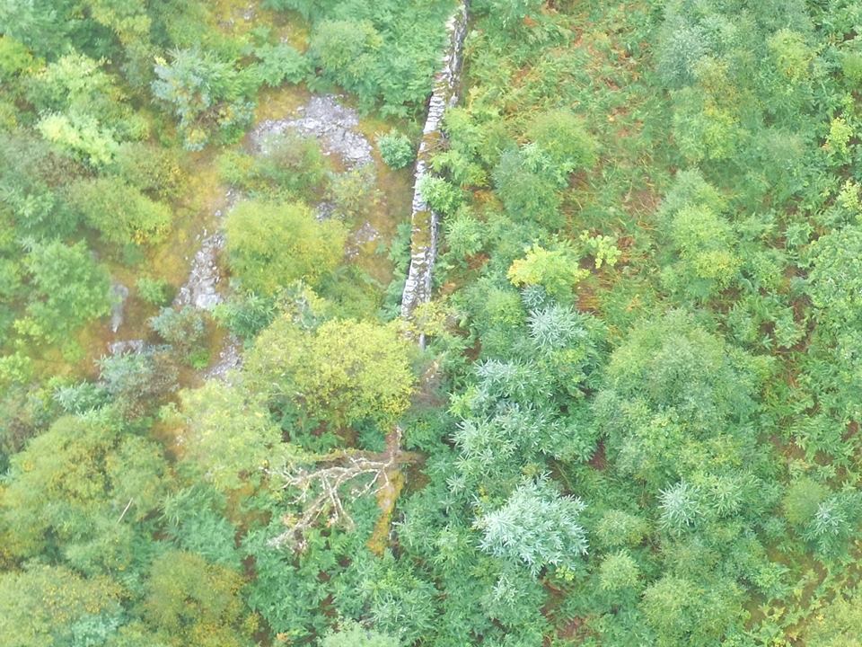
Possible Long Hut
Possible Long Hut or Shelter near Nant Y Gro stream, 9m x 6m in a P shape.
Looks to have a circle of stones around it from the aerail photo.
Map Ref SN92458 62824

Unrecorded Enclosure
A Unrecorded Enclosure on Nant Y Gro.
Map Ref SN


Possible Long Hut
Possible Long hut or Long House on Gro Hill near Nant Y Gro stream, this one is 7m x 11m,
looks to have a possible dividing wall in the middle, entrance can be seen.
Boundary banks around the structure and lots of over smaller structures nearby.
Map Ref SN92409 62797

Unrecorded Hut
A unrecorded hut on Gro Hill, next to Nant Y Gro, 5m x 5m.
Map Ref SN92434 62937

Blaen Coel Farm
Remains Blaen Coel Farm in 2003.
Map Ref SN89050 64030


Blaen Coel Farm
Remains Blaen Coel Farm in 2017.
Map Ref SN89050 64030


Pant Y Llyn House
Remains of Pant Y Llyn House. Connected to Crugyn Ci Quarry.
Map Ref SN93571 68885

Cringyn Cottage
Remains of Ty'n Y Ffald near Tynllidiart.
Map Ref SN90700 65680
Ty'n Y Ffald
Remains of Cringyn Cottage near Tynllidiart.
Map Ref SN90660 65790


Llanerch Ty Newydd
Remains of Llanerch Ty Newydd House near Tynllidiart.
Map Ref SN90910 65500

Possible Long Hut
Possible Long Hut on Esgair Brithgwm, near Tynllidiart.
Map Ref SN90947 66399

Nant y Wern Long Hut
Nant y Wern long hut I, entrance to the south, in the Claerwen Valley.
10m x 5m.
Map Ref SN87410 62440

Nant y Wern Long Hut II
Nant y Wern long hut II, Medieval Long hut, lot of stone scatter on this one
and hard to make out, in the Claerwen Valley. 10m x 6m.
Map Ref SN87442 62483

Nant y Wern Long Hut III
Nant y Wern long hut III, Medieval Long hut, entrance to the North, in the Claerwen Valley.
10m x 5m.
Map Ref SN87504 62438


Possible Unrecorded Hut
Possible unrecorded hut / long hut. There are no visible features within the building, in the Claerwen Valley.
10m x 5m.
Map Ref SN87391 62511


Baich Y Wern Sheepfold
Baich Y Wern Sheepfold.
Has a concrete structure and remains of a old Cambridge 55 car just outside the sheepfold, in the Claerwen Valley.
Map Ref SN87460 62480

Llwydnant Long Hut
Llwydnant Long Hut, a Post Medieval Long Hut in the Claerwen Valley.
Map Ref SN87735 62283


Cerig Llwydion Longhouse
Cerig Llwydion Longhouse, a Medieval Long hut in the Claerwen Valley.
Map Ref SN87900 62360

Cerrig Llwydion Long Hut V
Cerrig Llwydion Long Hut V in the Claerwen Valley
Map Ref SN88090 62220
Cerrig Llwydion Long Hut VI
Cerrig Llwydion Long Hut VI in the Claerwen Valley
Map Ref SN88030 62200

Cerig Llwydion Hut
Cerig Llwydion Hut, a Bronze Age Hut in the Claerwen Valley.
Map Ref SN87883 62355


Garreg Felen Long House
Garreg Felen Long House, A Medieval Long House near Claerwen Dam.
Map Ref SN86680 63200


Nant Garreg Felen Hut
Nant Garreg Felen Hut, A Medieval Hut, up on Garreg Felen near Claerwen Dam. 5m x 3m.
Map Ref SN86390 62990


Craig Felen Long House
Craig Felen Long House, A Medieval Long House, up on Garreg Felen near Claerwen Dam. 16m x 4m.
Map Ref SN86490 63040

Llwyn Dale
Llwyn Dale, a Post-Medieval house a short distance from Rhiwnant Farm
Map Ref SN89042 60975


Possible Long Hut
Possibly a medieval long hut, unrecorded. Near Rhiwnant Farm
Map Ref SN89208 61139

Craig Llanerch Cawr Barn
Craig Llanerch Cawr barn on the hill above Llanerch Cawr. 8m x 6m.
Map Ref SN89820 61260


Rhiwnant Sheepfold
Rhiwnant Sheepfold, Map Ref SN8767 6010 and Rhiwnant Hafod.
Map Ref SN8763 6005

Domen Milwyn Sheepfold
Remains of a sheep fold or shelter near Domen Milwyn
Map Ref SN81254 72260

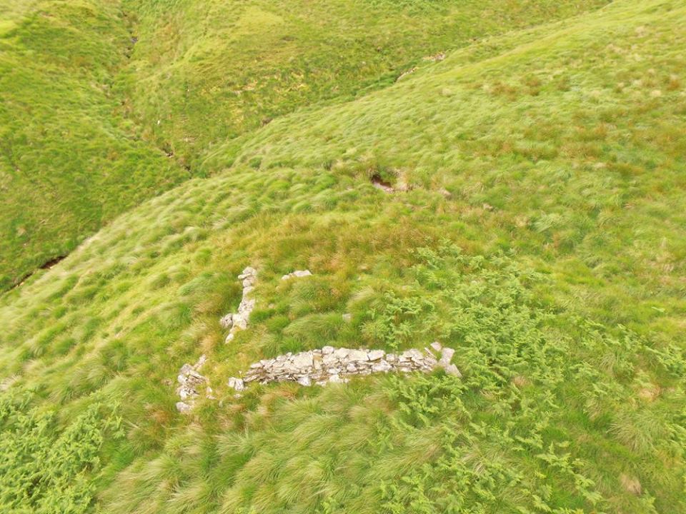
Garreg Naw Llyn Long Hut
Remains of Garreg Naw Llyn Long Hut
Map Ref SN79775 70307
Blaen Mwyro Sheep Fold
Remains of Blaen Mwyro Sheep Fold near Llyn Gynon
Map Ref SN79355 64147

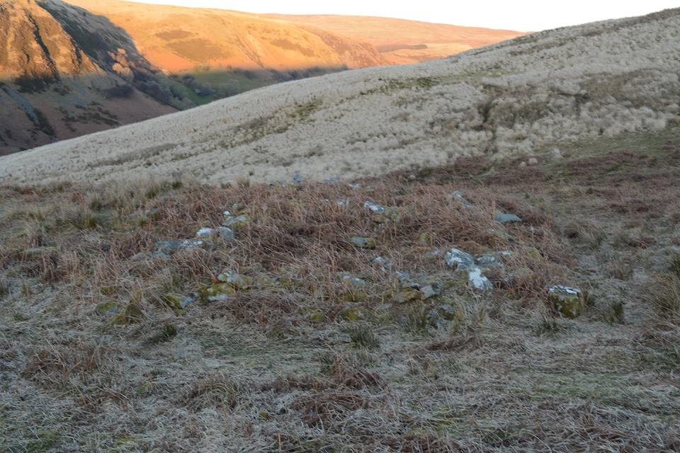
Blaen Y Cwm Long Hut
Remains of Blaen Y Cwm Long Hut. Short distance off the old Aber Mountain Road
Map Ref SN85536 75624

Bryn Glas Long Hut
Remains of Bryn Glas Long Hut off the old Aber Mountain Road, near Afon Elan
Map Ref SN85385 74826
Bryn Glas Shelter
Remains of Bryn Glas Shelter off the old Aber Mountain Road, near Afon Elan
Map Ref SN85347 74861
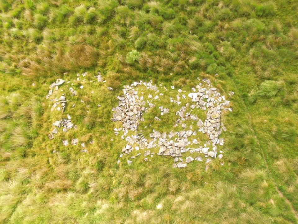
Esgair Gris Long House
Listed as Esgair Gris Long House but may be a disturbed cairn. a few upright stones.
Not far from Craig Goch Dam
Map Ref SN8870 668470

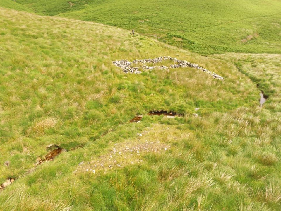
Nant Gris Sheepfold
Ruins of Nant Gris Sheepfold, 8m square, not far from Craig Goch Dam
Map Ref SN88100 67940


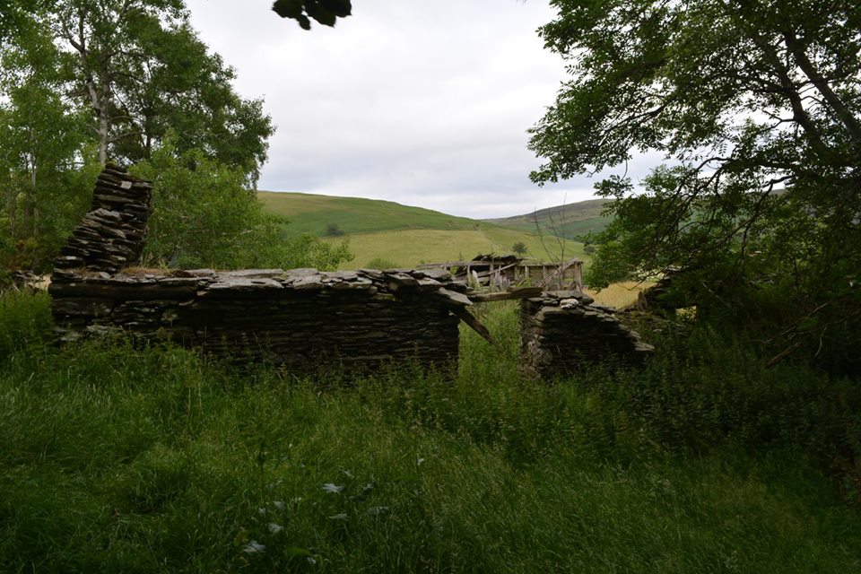
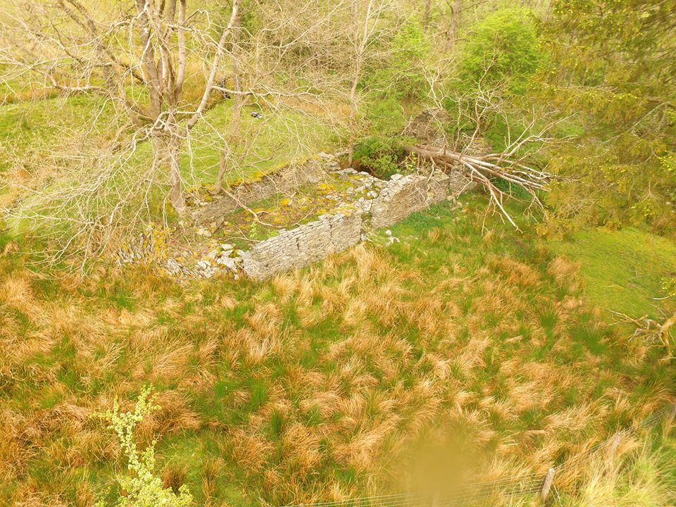
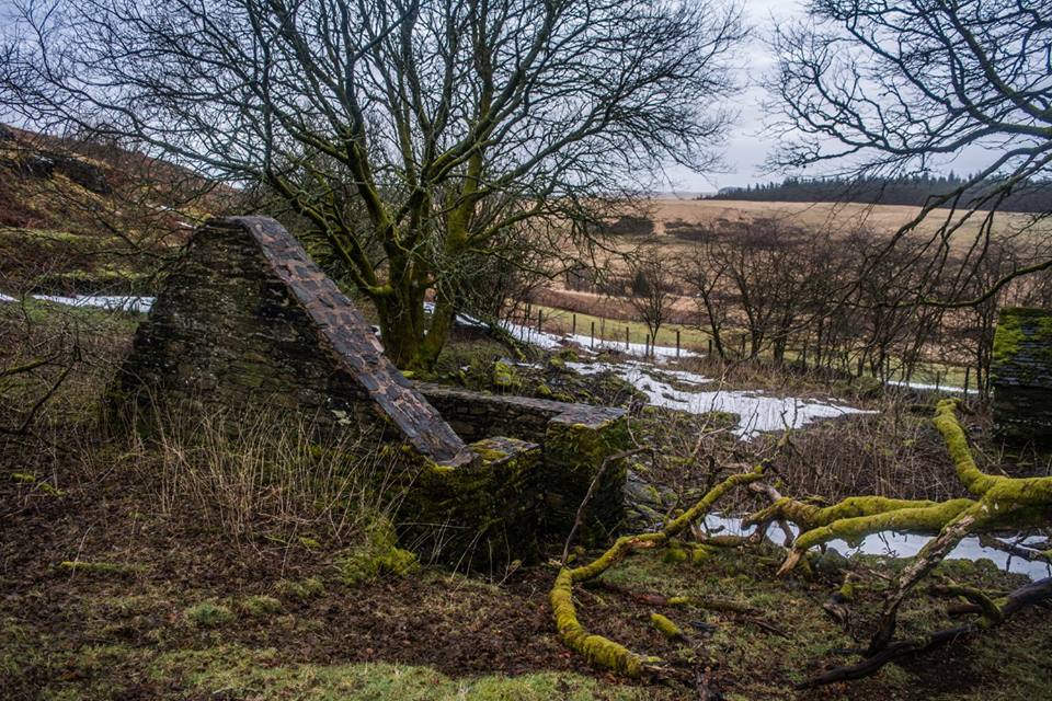
Llanerchi Barn
Ruins of Llanerchi Barn, 20m x 8m. In woodland above Nantgwyllt Church
Map Ref SN90721 63561


Llanerchi Long House
Ruins of Llanerchi Long House in woodland above Nantgwyllt Church, the remains are right next to the bridleway and can easily be missed.
Map Ref SN90659 63523


Llywd Nant Enclosure
Ruins of Llanerchi Long House in woodland above Nantgwyllt Church, the remains are right next to the bridleway and can easily be missed.
Map Ref SN90659 63523
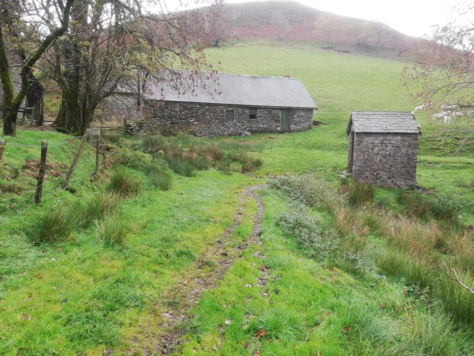
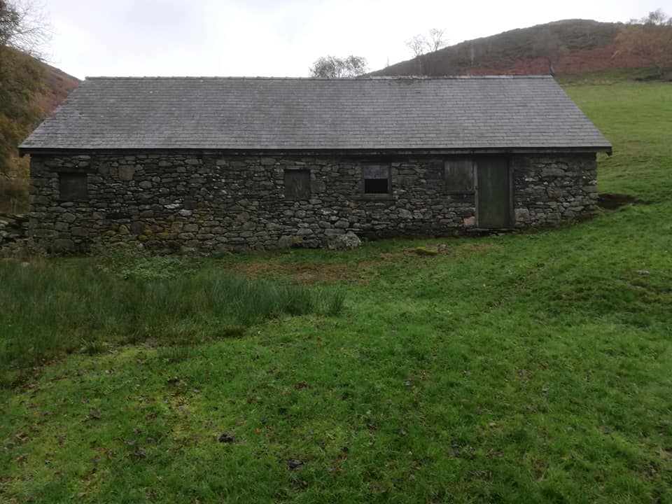
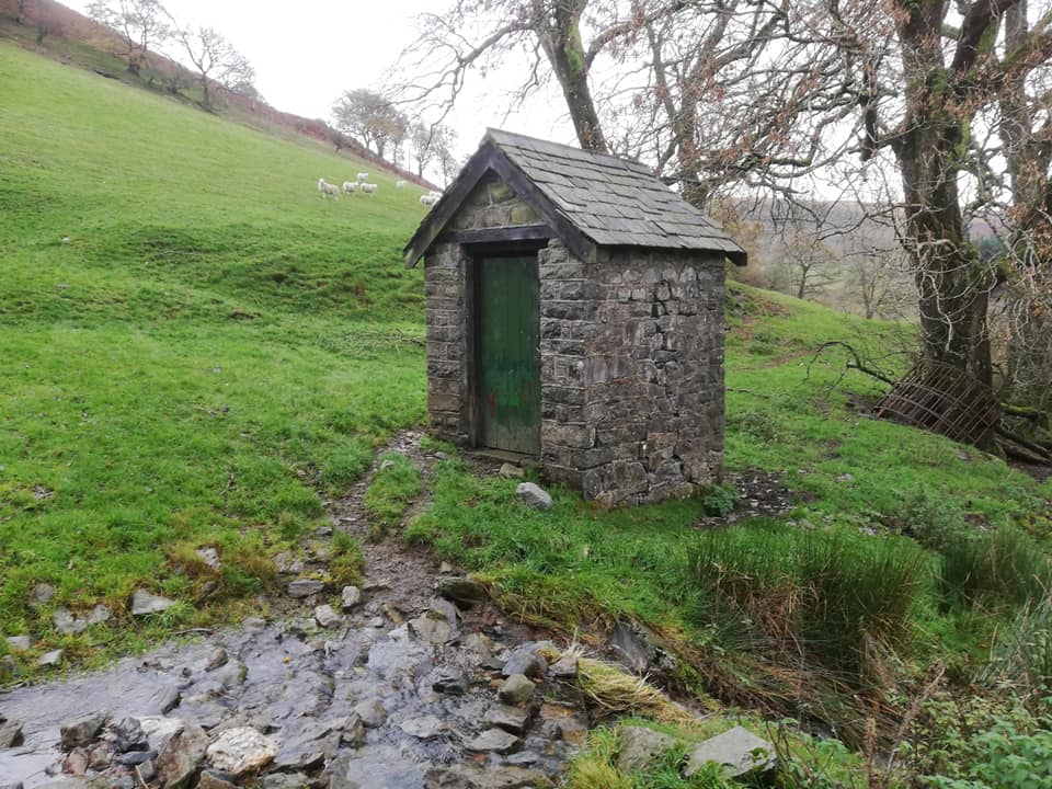
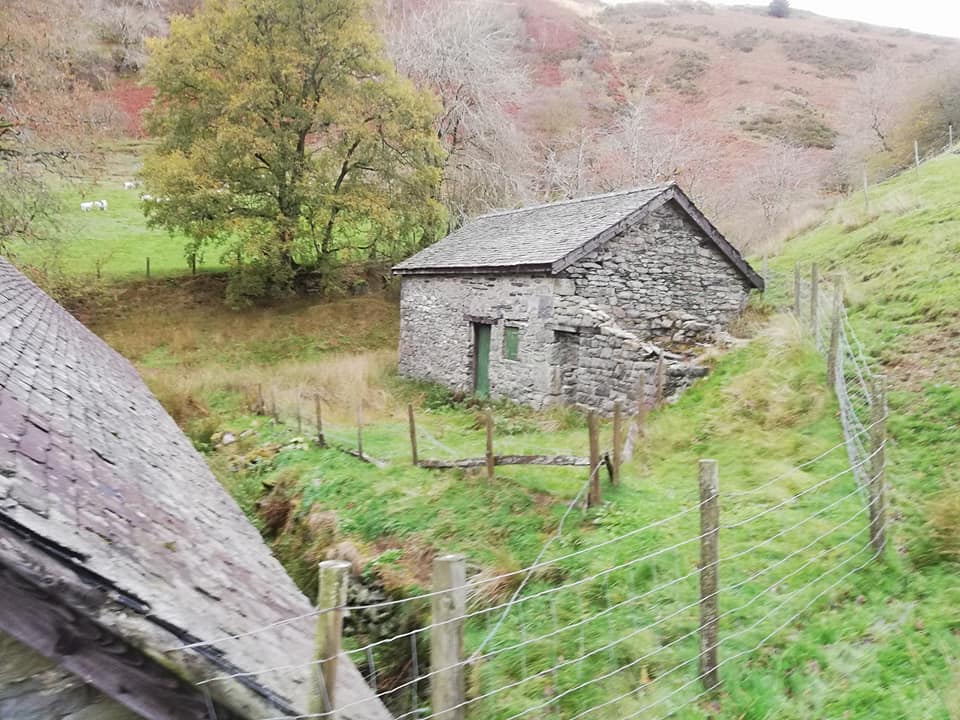
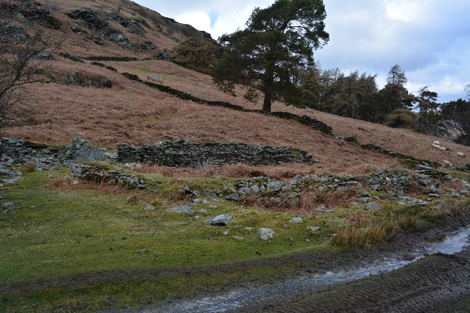
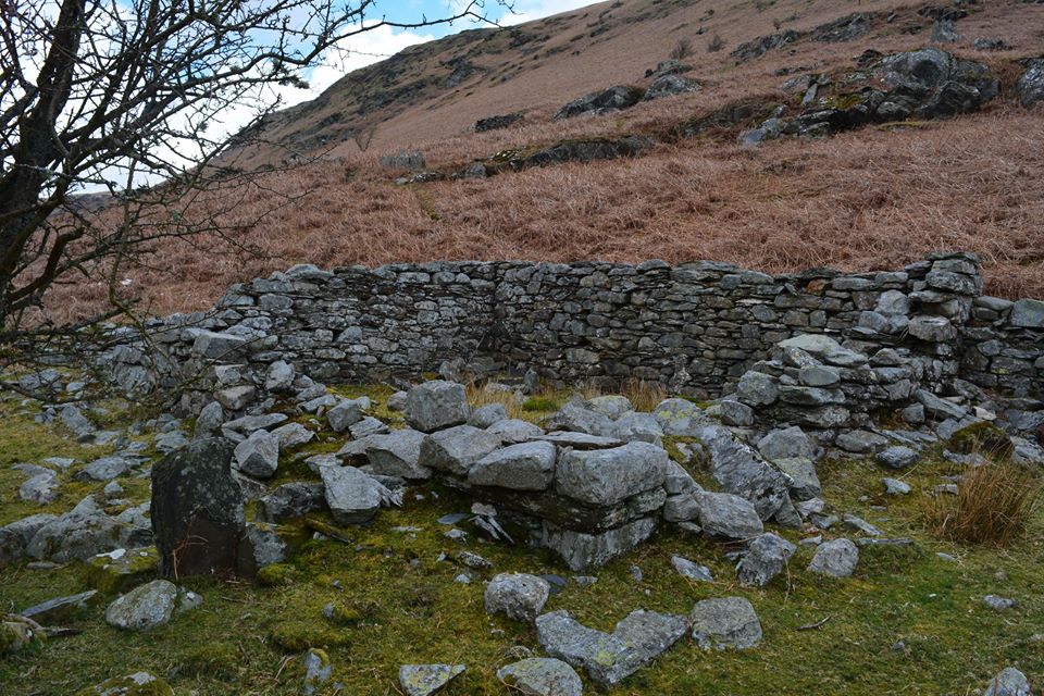
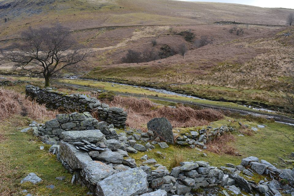
Lluest y Gadair
Remains Lluest y Gadair a former post medieval house in the Claerwen Valley.
Was locally known as Lluest Abram due to Abram Davies living there before it was deserted.
One story is tha Abram went to Tregaron and brought back a house maid in the dark.
She was told that she could either sleep with him or the cow. She slept with the cow the first night but slept with Abram there after.
Map Ref SN86877 66297


Pen Cae Haidd House
Remains of Pen Cae Haidd House.
Map Ref SN9080 6242


Pant Tawel Quarry
Possible quarry near Pant Tawel.
Map Ref SN9153 6224


Pant Tawel Railway Cutting
Possible railway cutting near Pant Tawel.
Map Ref SN91532 62311


Tel: 07870954997
Copyright - Elan Valley Past And Present 2026
Page hits:5315