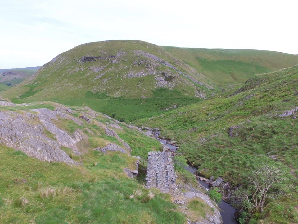
Nant Y Garw Mine
Nant Y Garw is in a remote part of the Claerwen Valley. A vein was discovered around 1877 and work commenced on the mine in 1882.
The first sales of lead ore were in 1883. Builth Lead Mining Co Ltd bought the mine in 1886 and worked the mine until 1893.
Nantgarw Mining Co Ltd continued working the mine until 1899, after which work at the mine was abandoned.
The recorded output from the mine was 2,177 tons of lead ore concentrates.
Map Ref SN875 606
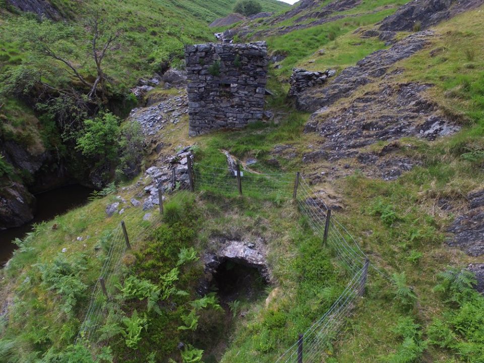
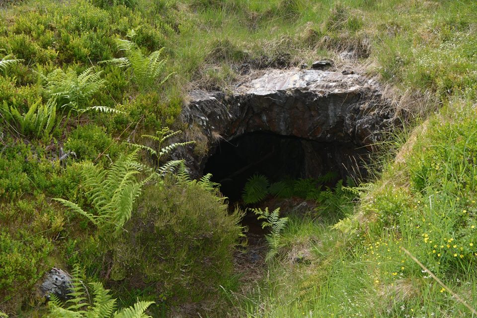
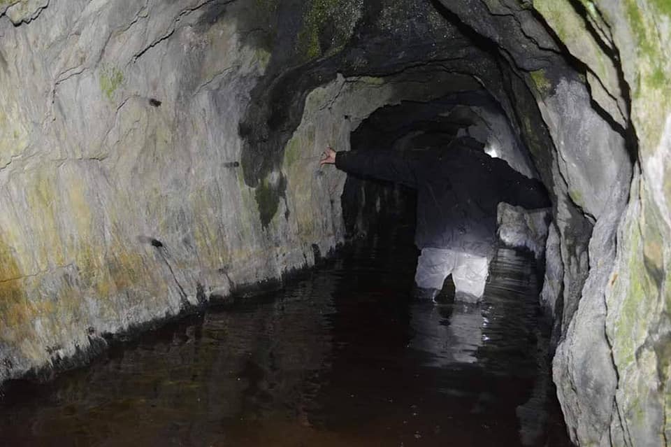
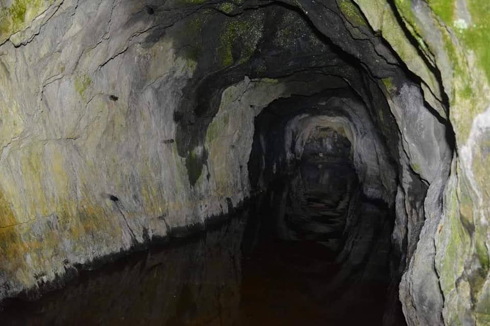
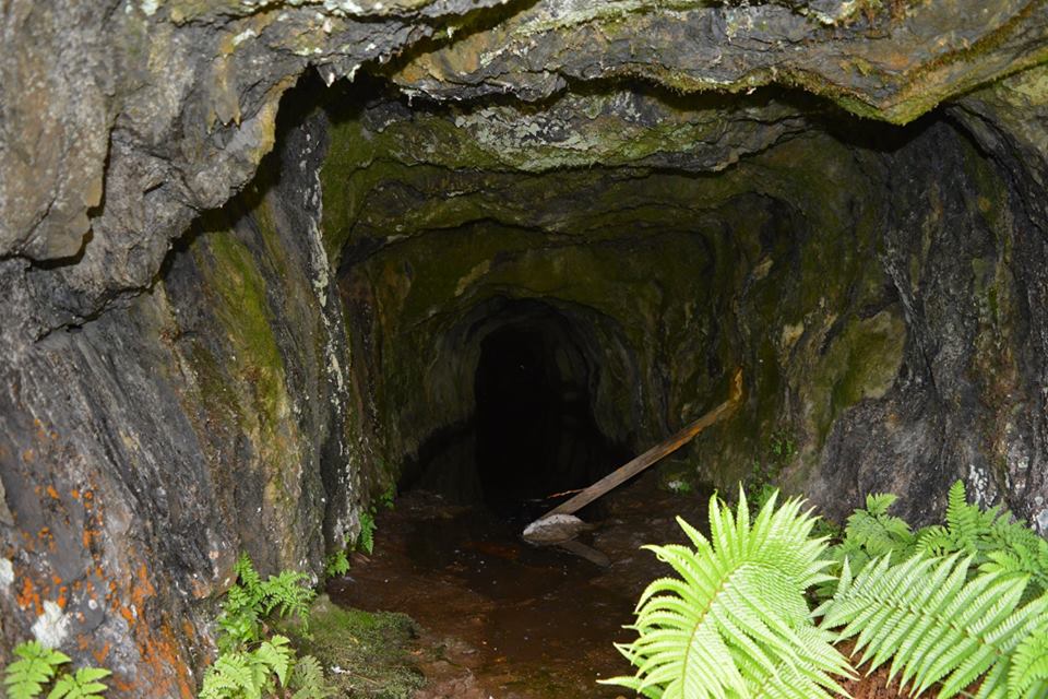
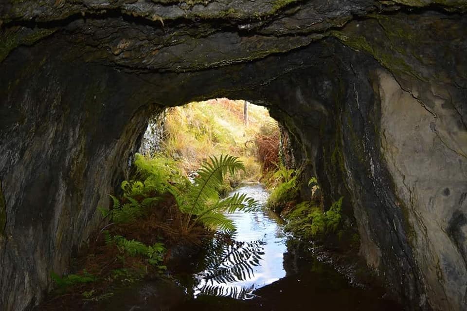
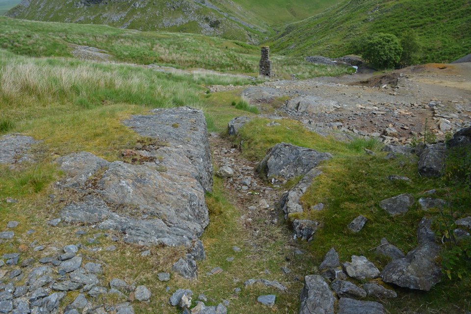
Nant Y Garw Adit
Map Ref SN8758 6054
Remains of the Water Wheel Pit and the entrance to the Mine Adit. The adit is roughly 30 metres long heading towards the shaft further up the hill.


Nant Y Garw Water Wheel Pit
Map Ref SN8758 6054
Remains of the Water Wheel Pit.
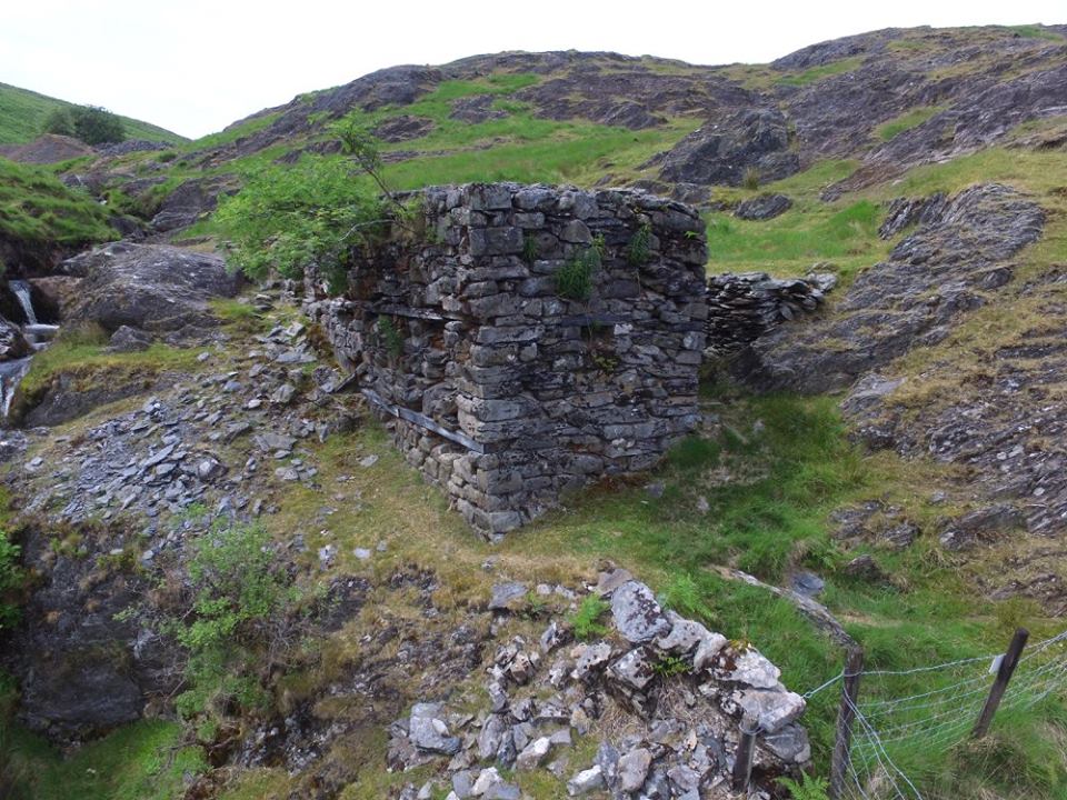

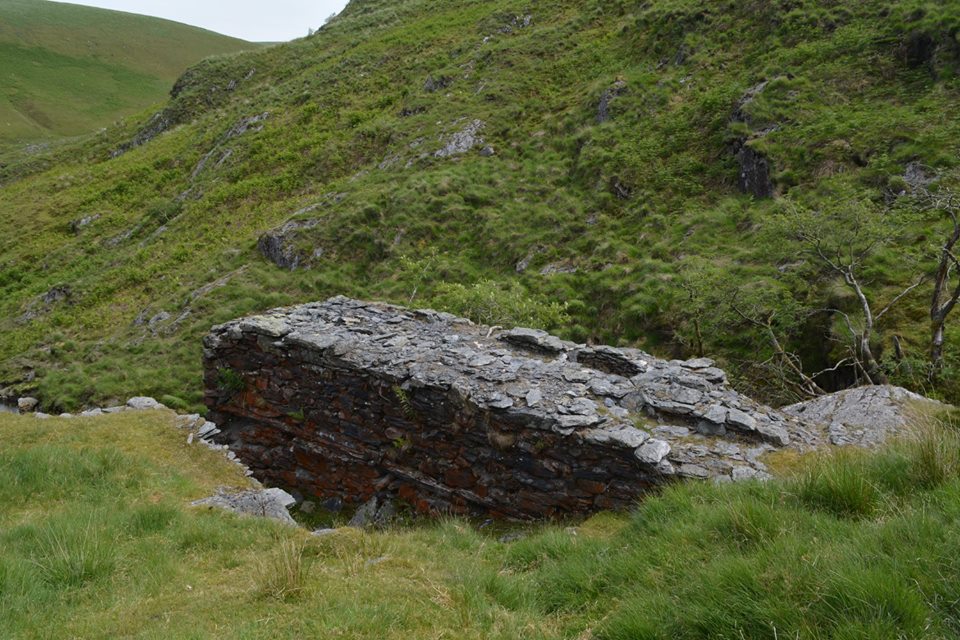
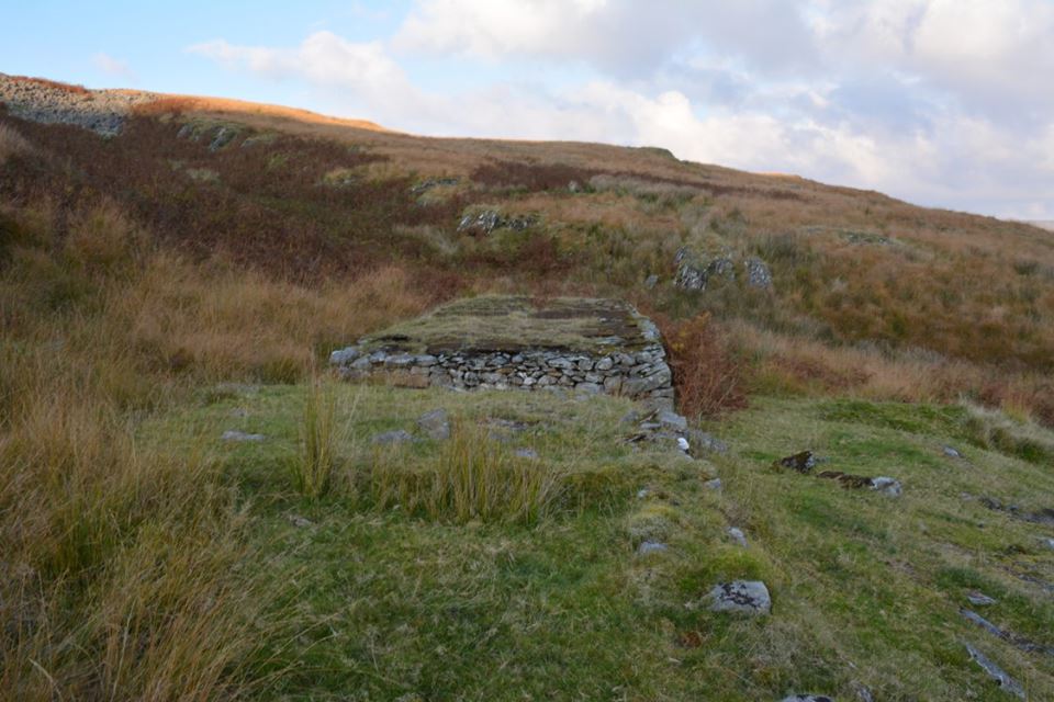
Magazine
Map Ref SN8770 6075
Remains of the mine magazine which is located at some distance to the east, with a track leading up to it. The building is still intact but without a roof, measuring 5.0 x 3.3m and 3.3m high.


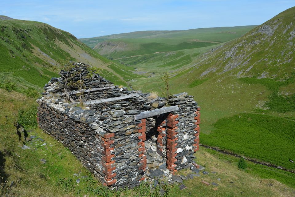

The Smithy
Map Ref SN8770 6075
Remains of the smithy building at the mine.


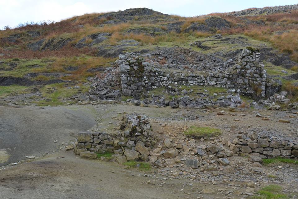
The Barracks
Map Ref SN
Possible barracks, with the one on the right in the picture having a rectangular slot suggesting the position of machinery.

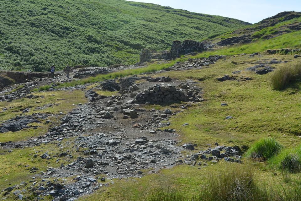
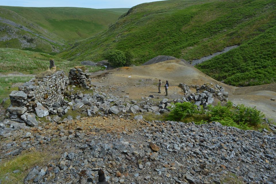
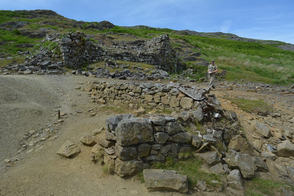
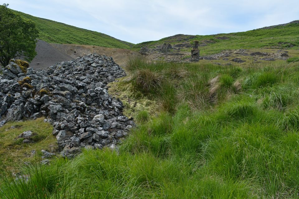
Remains of Buildings
Remains of buildings around the mine site.


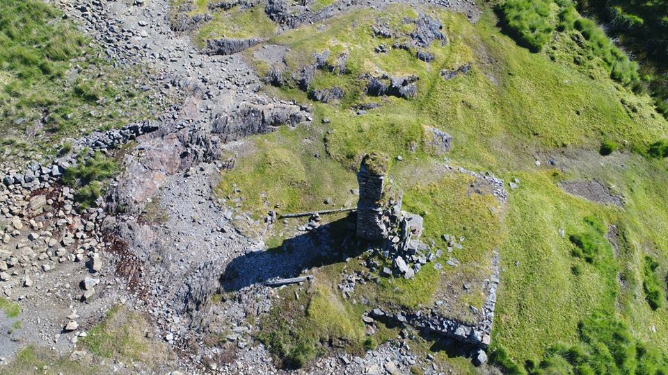
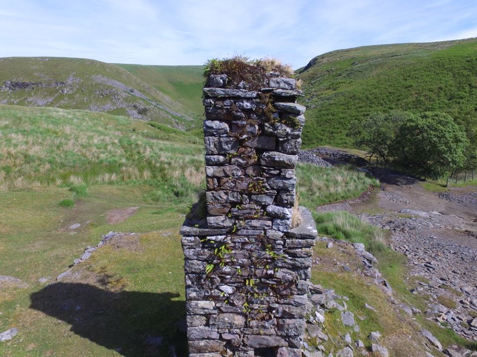
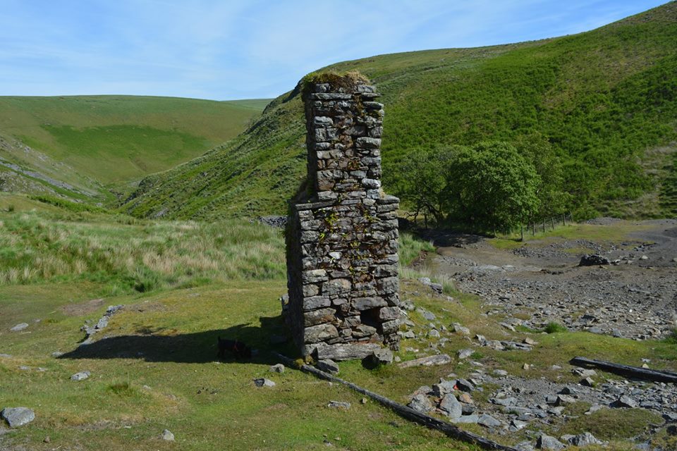
The Mine Shaft
Map Ref SN8746 6058
Remains of the mine shaft and bob-pit.


A Former Part
Map Ref SN

A Former Building
Map Ref SN
This structure is partly buried by spoil, but consists of a stone revetted platform measuring 15 x 13m, with the remains of a machine base in the middle and a series of timber tanks and launders along the north-east external wall.

Green's Processing Mill
Map Ref SN
The Green's Processing Mill. The property appears to have been in the possession of George Green of Aberystwyth for a short time. Green (1824–1895) owned the Cambrian Foundry and supplied mining equipment to mines in mid-Wales and further afield. Green patented his self-acting dressing machinery, including crusher rolls, jiggers, buddies and classifiers, installed in purpose-built mills powered by water wheels. The remains of the Green's processing mill survive at Nantgarw, although they are difficult to interpret.


The Leats
Map Ref SN
Three leats served the mine, the shortest one running from Nant Y Carw stream and possibly once supplied by a dam across the stream. The longest leat was constructed in 1893 to carry water from Llyn Carw, 2km to the west.


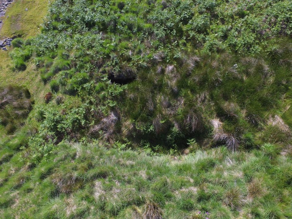
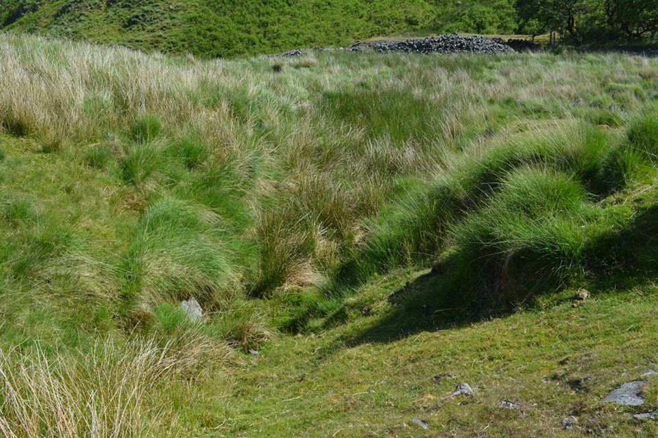
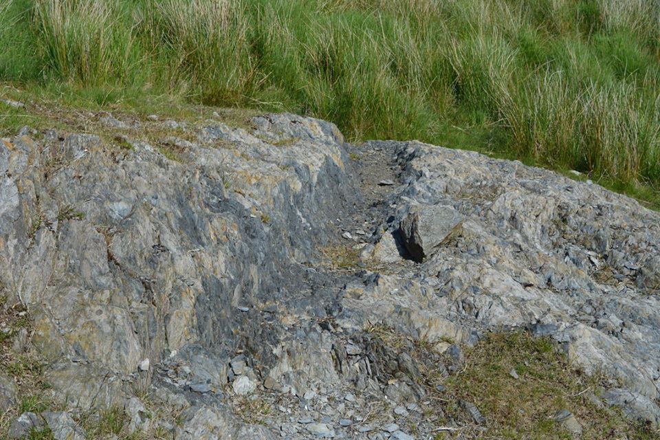
Early Working
Map Ref SN
Possibly the earliest working of the Nant Y Garw lead mine is associated with this now-collapsed level.


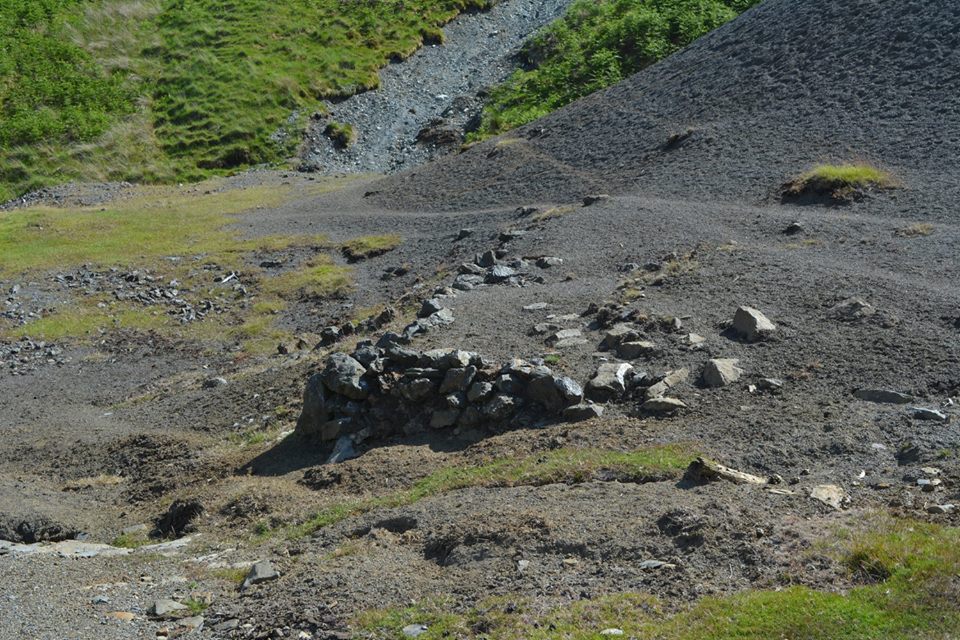
Ore Bin 3
Map Ref SN8750 6060
Ore Bin 3.
Ore Bin 4
Map Ref SN8750 6059
Ore Bin 4.
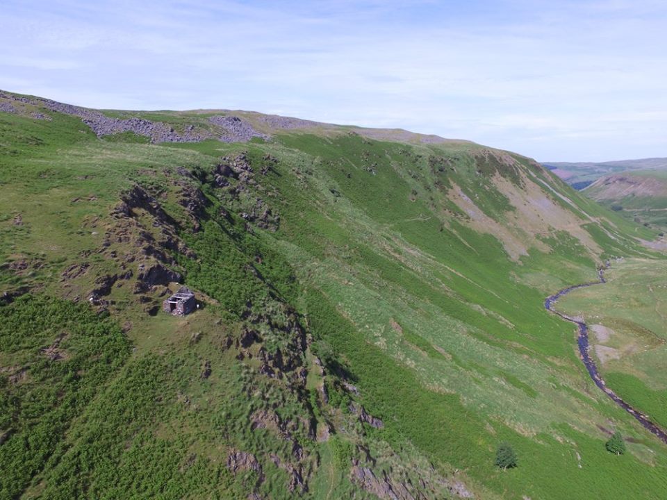
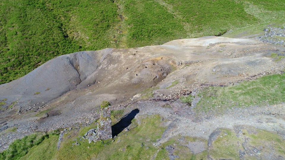
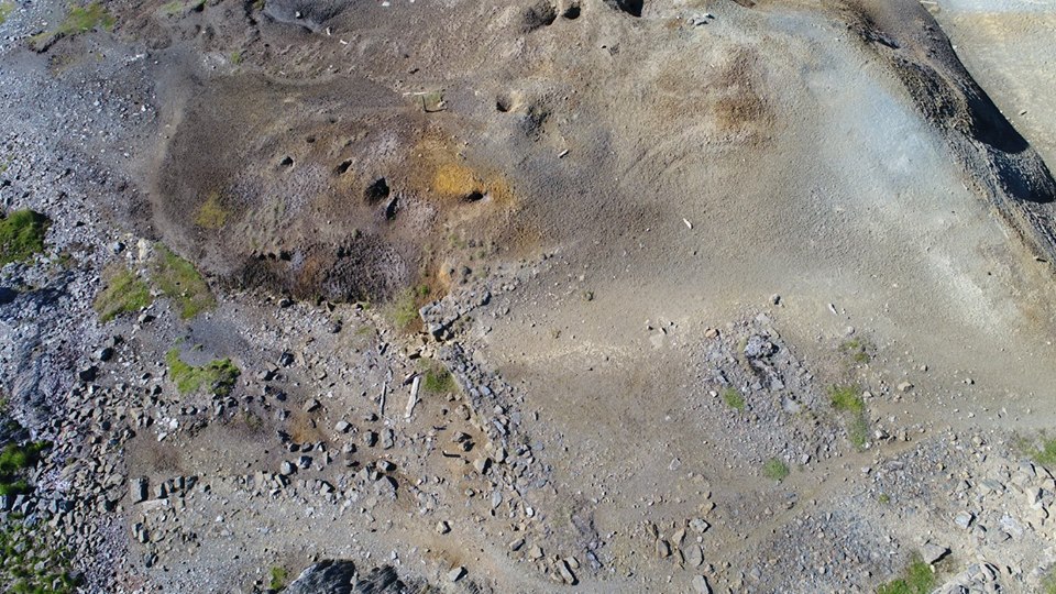
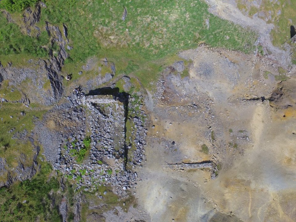
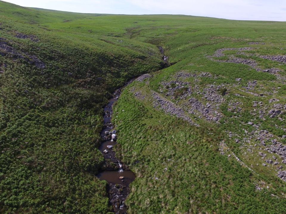
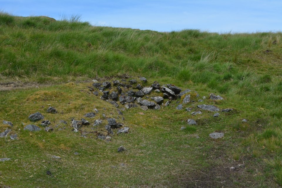
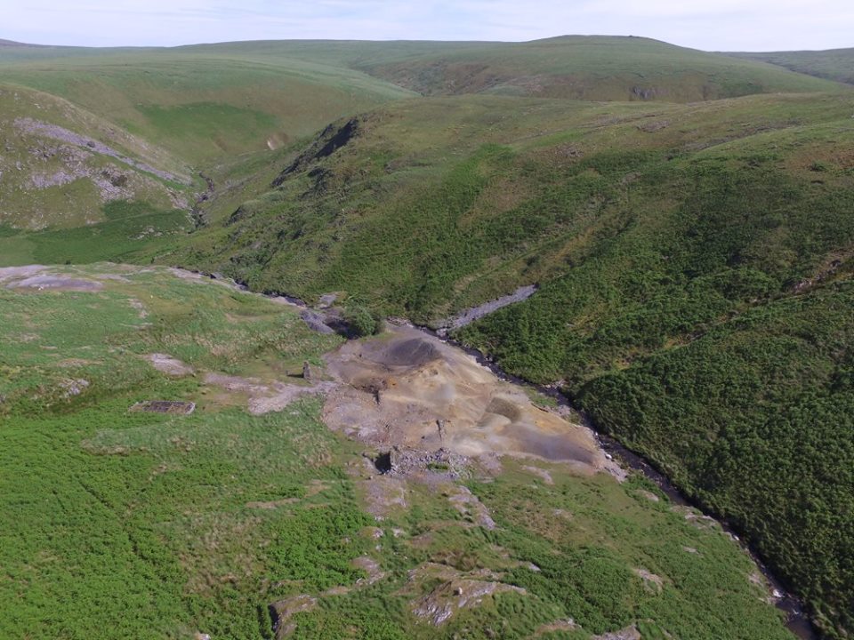
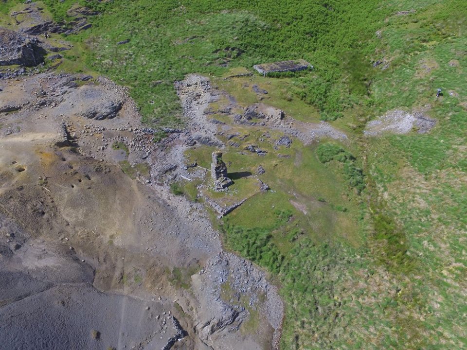
The Mine From Above
Looking down at the mine shaft, remains of a building, Ore Bin 4 and possibly a whim circle.
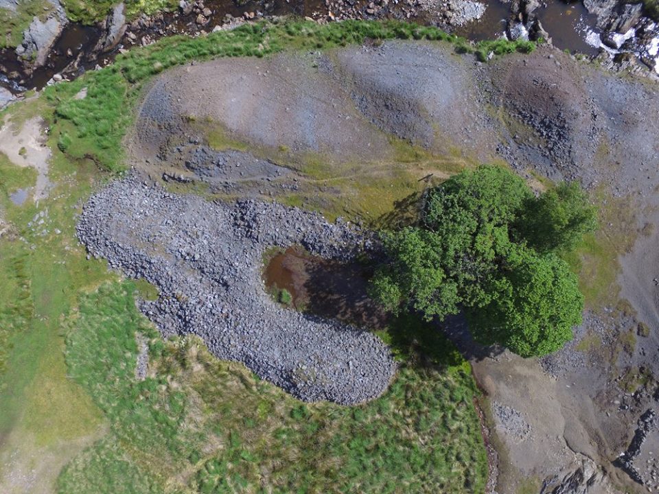
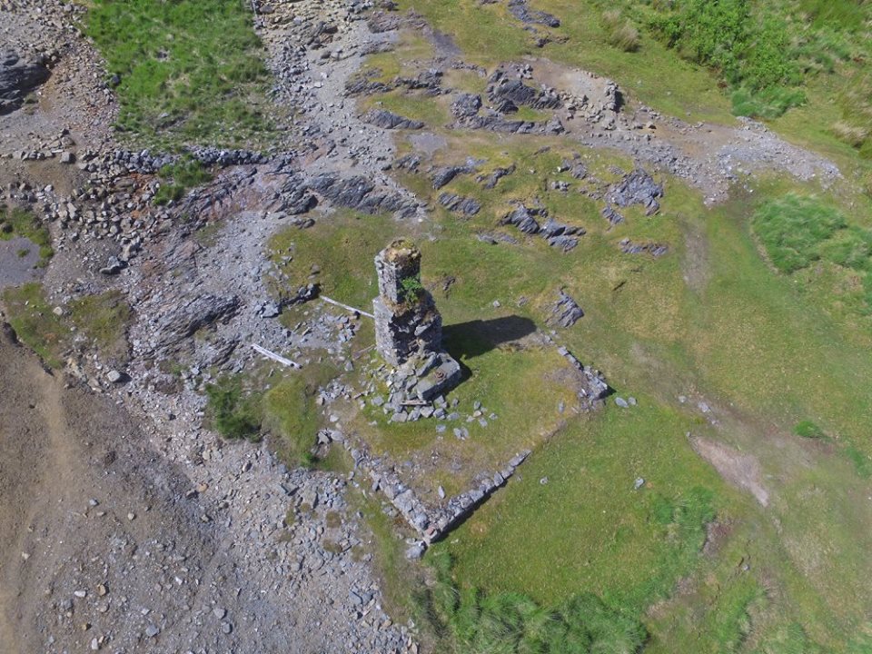
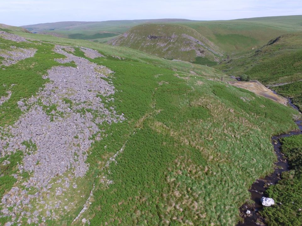
The Mine From Above
Looking down from above.


Other Remains
Other remains around the mine site.


Tel: 07870954997