Cwm Bach Mines and Trial Mines
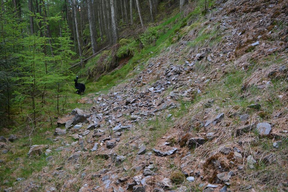
Cwm Bach Mines are located in dense woodland in Cwm Coch, Cwmdauddwr.
Not in the Elan Valley, but many of the mining trials are only a short distance from the bridleway leading up to Maen Serth Standing Stone.
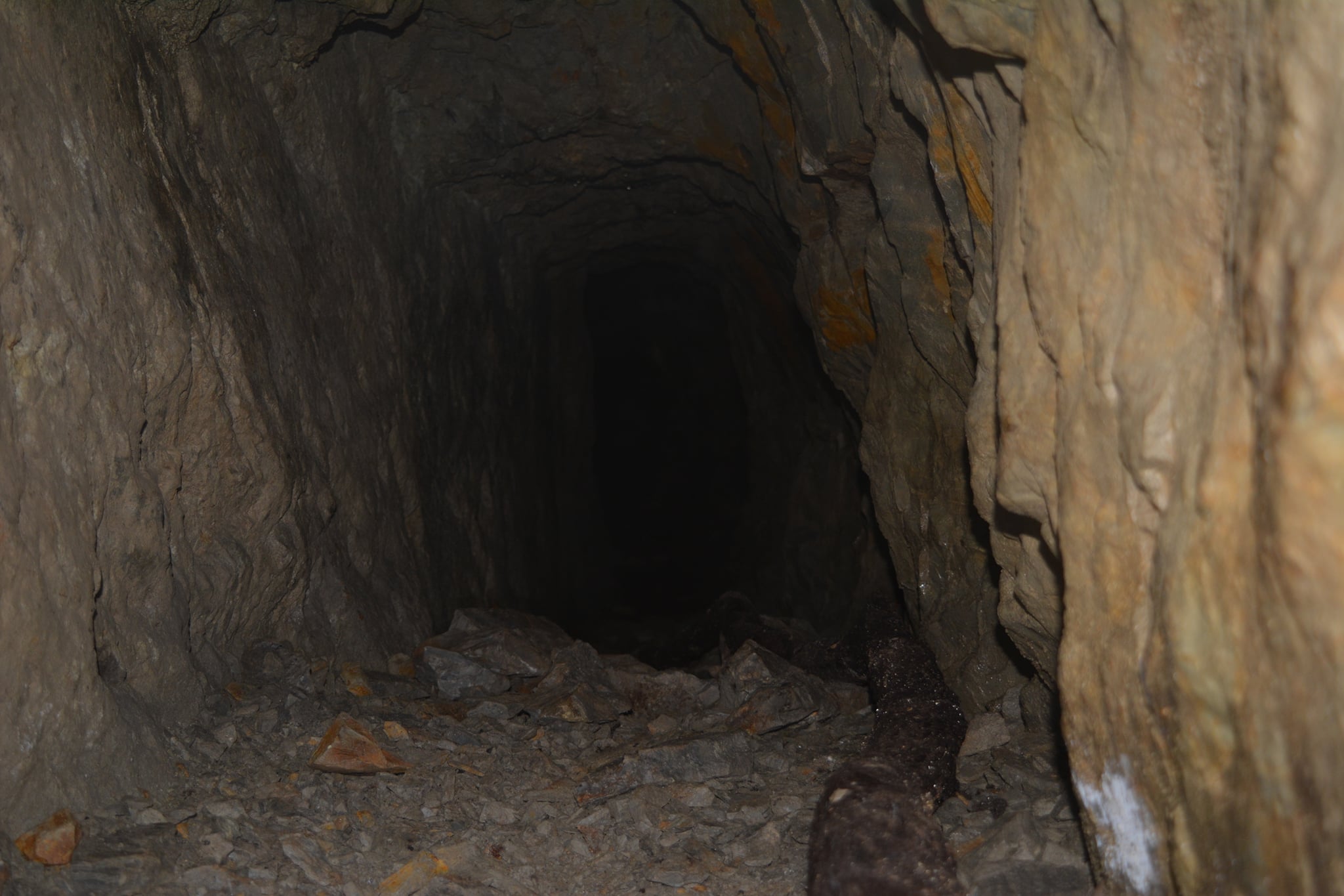
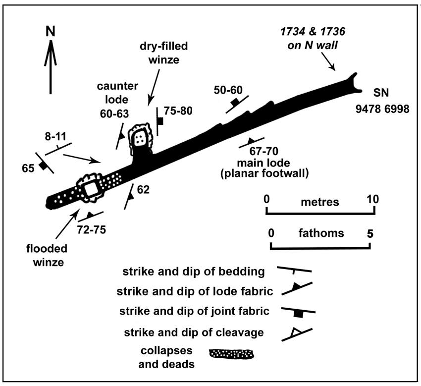
Dates on the wall of the mine adit: 1734 and 1736.
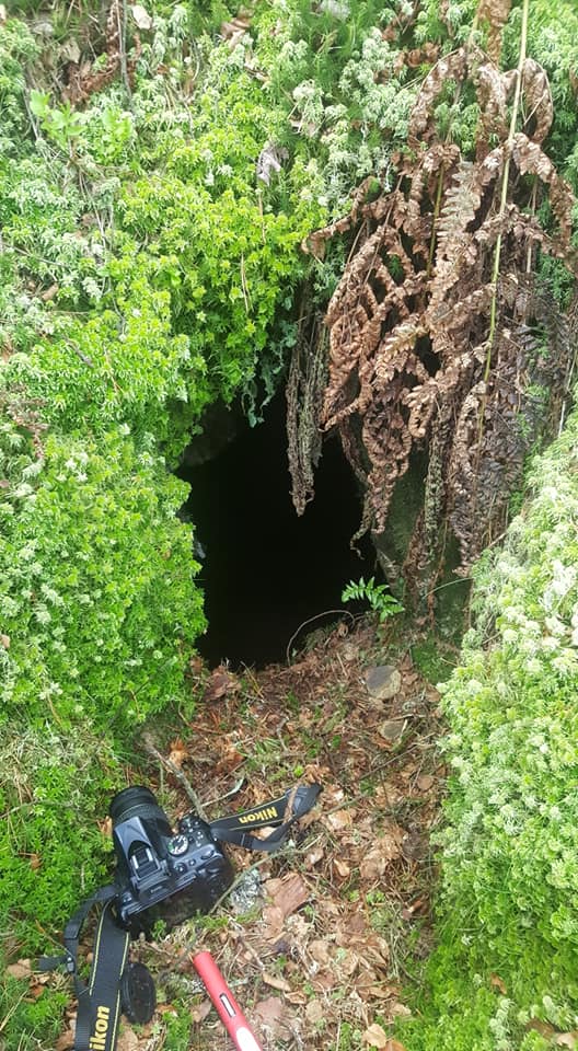
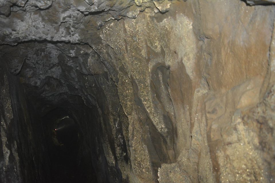
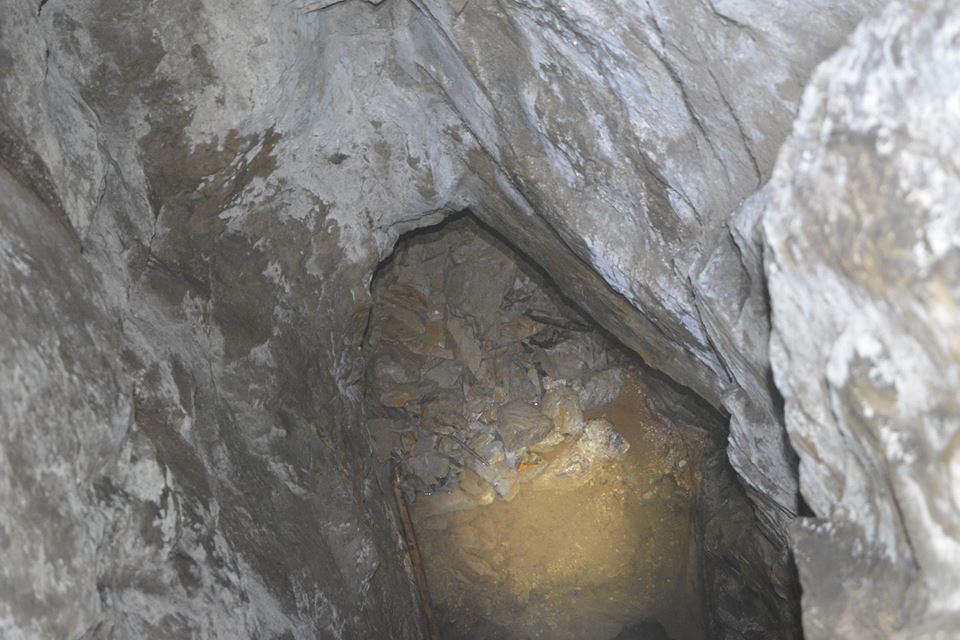
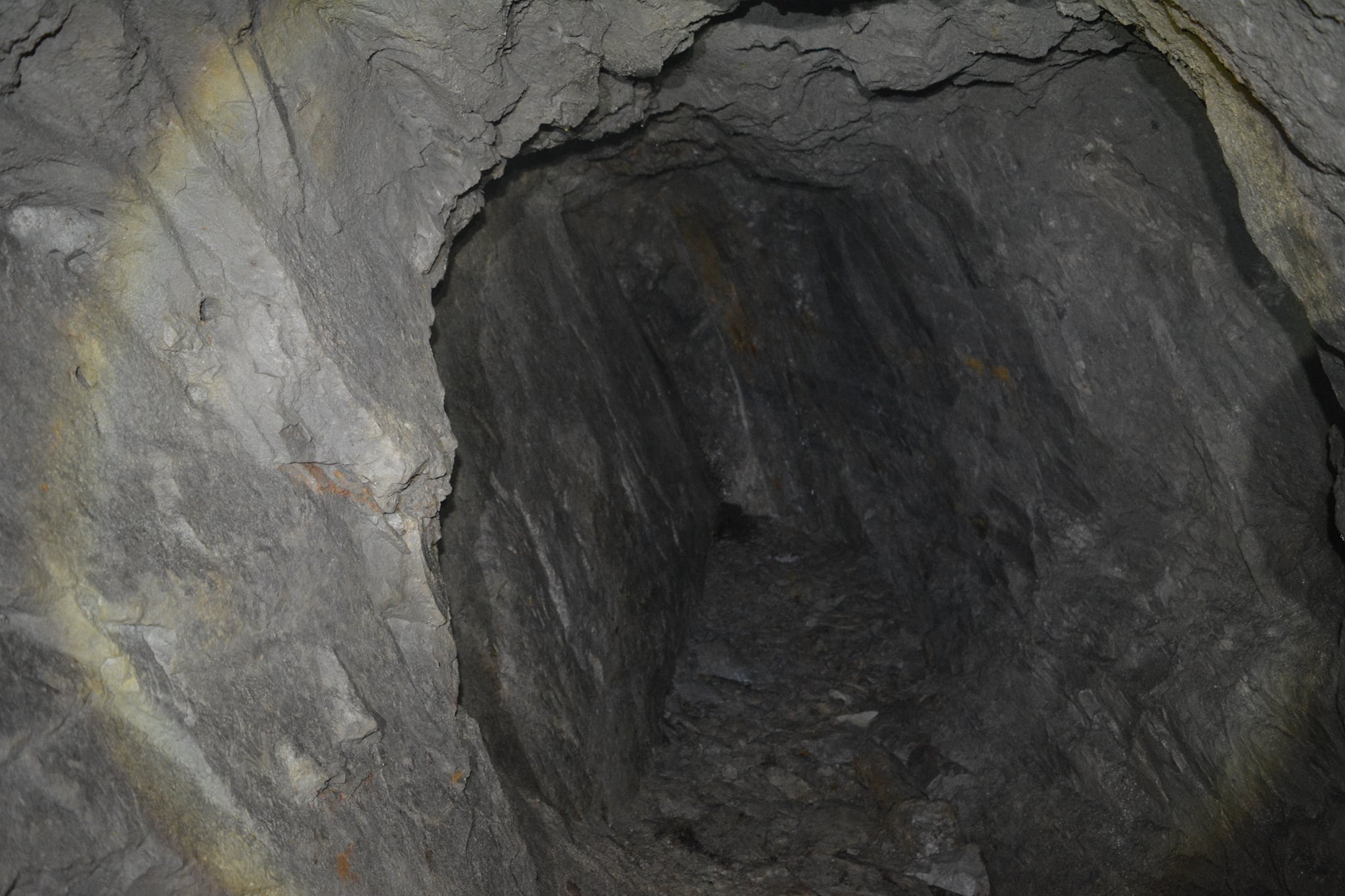
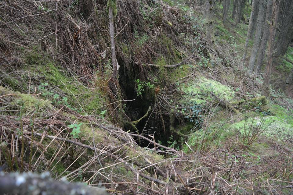
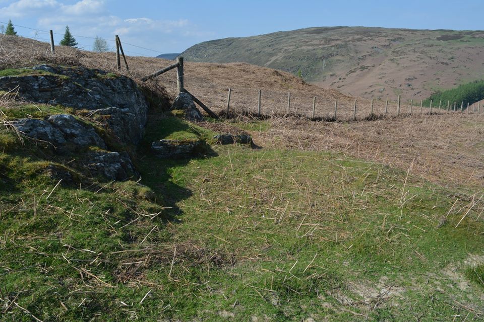
Cwm Bach Mine Adit
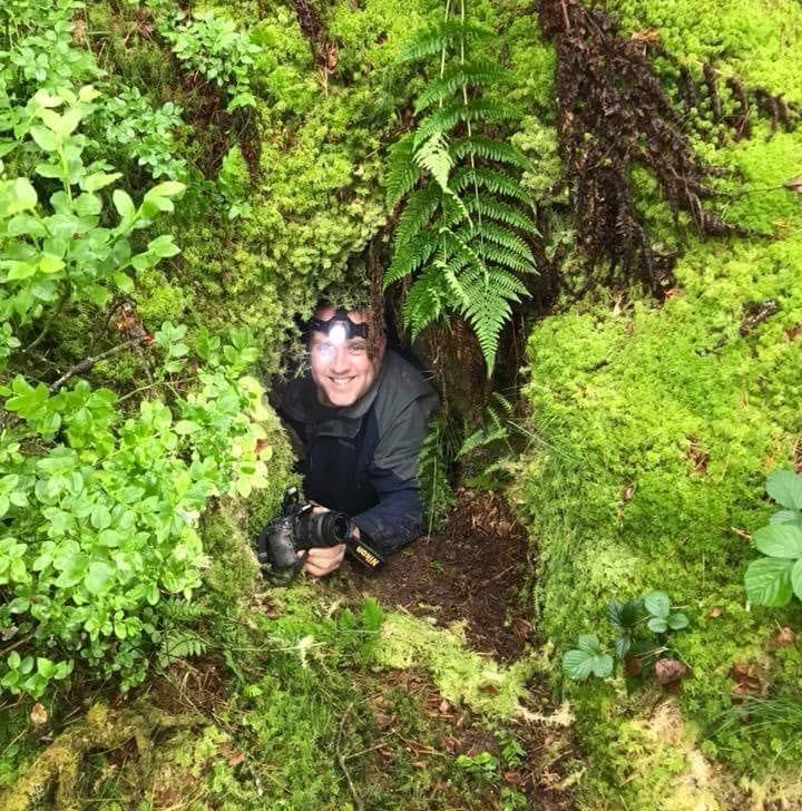
Cwm Bach Mine Adit is high up in the rocks of Cwm Coch Wood. This old lead mine dates back to 1734 according to the date engraved into the rock just inside the adit.
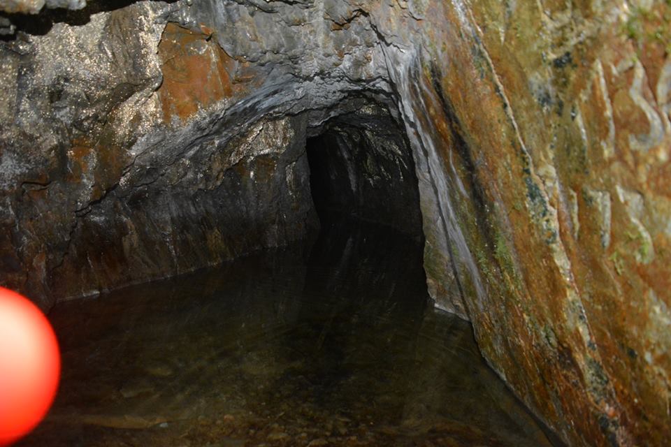
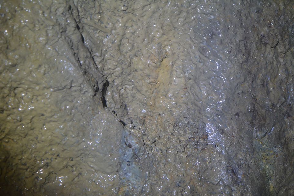
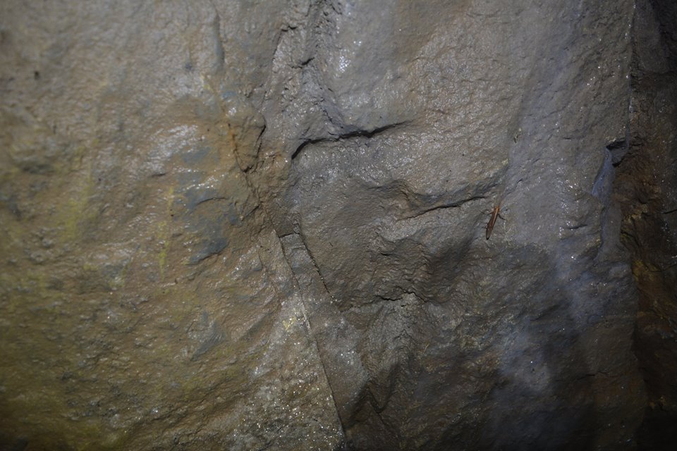
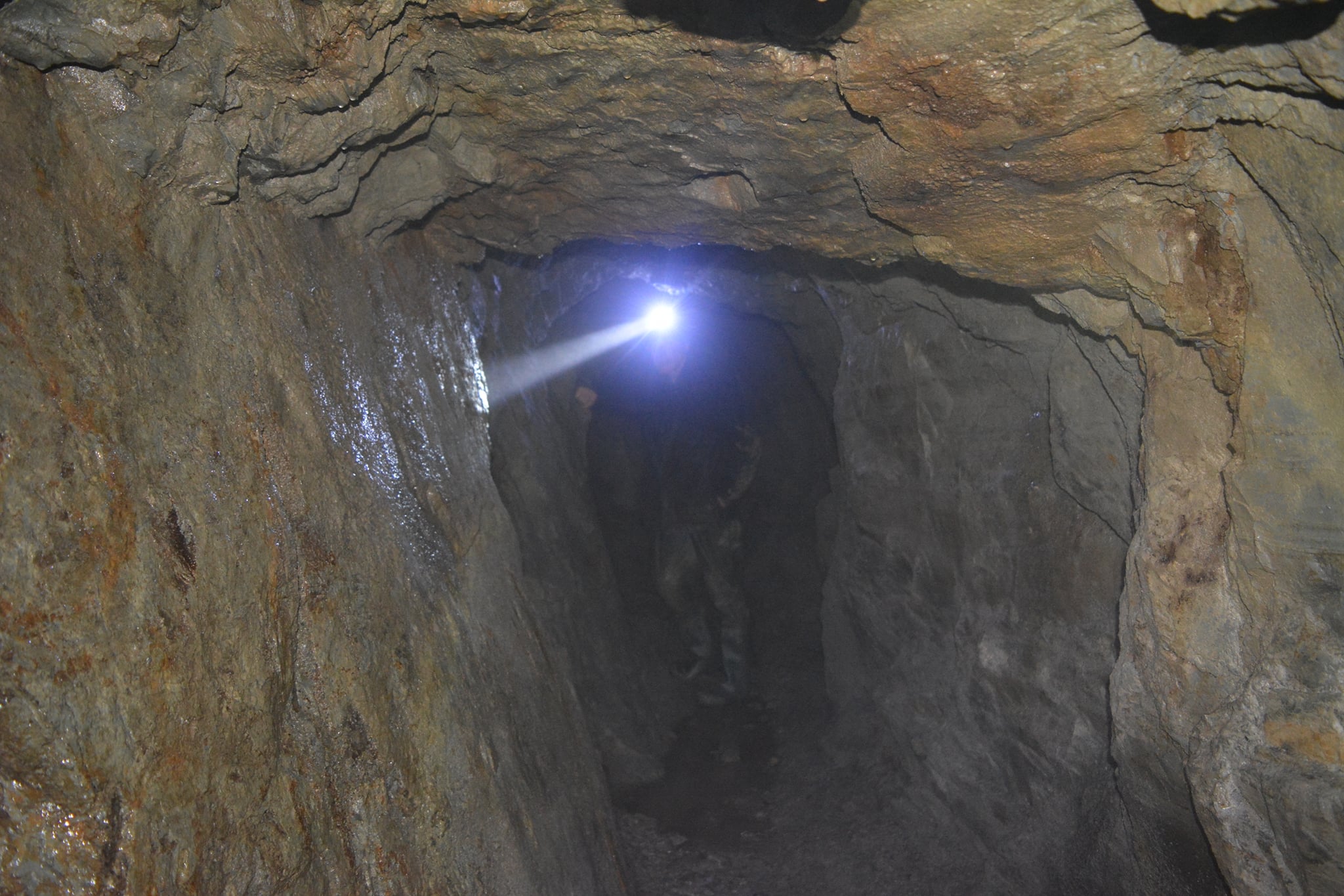
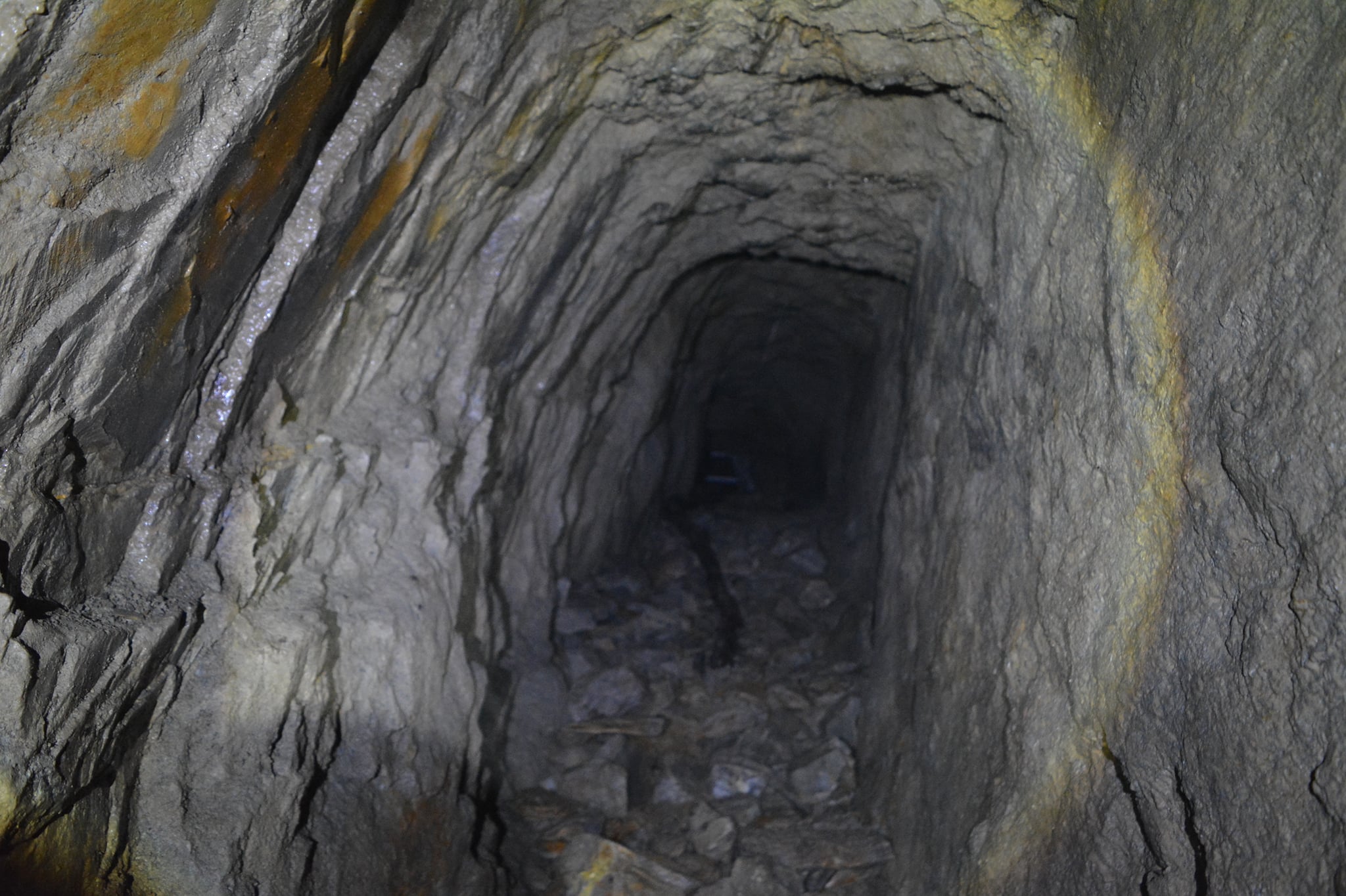
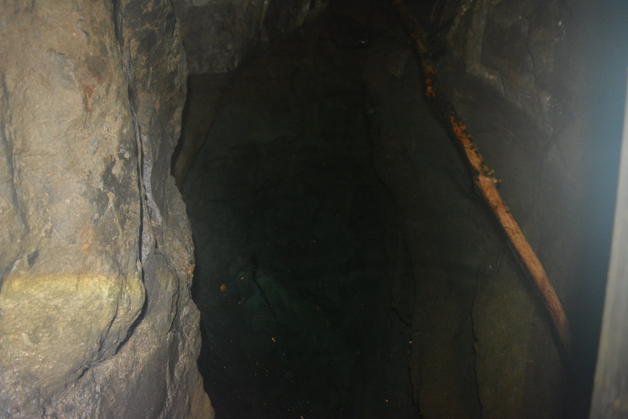
The mine has two levels. The upper level is the level entered from the entrance. Soon after entering the adit there is a flooded section which can be waist height.
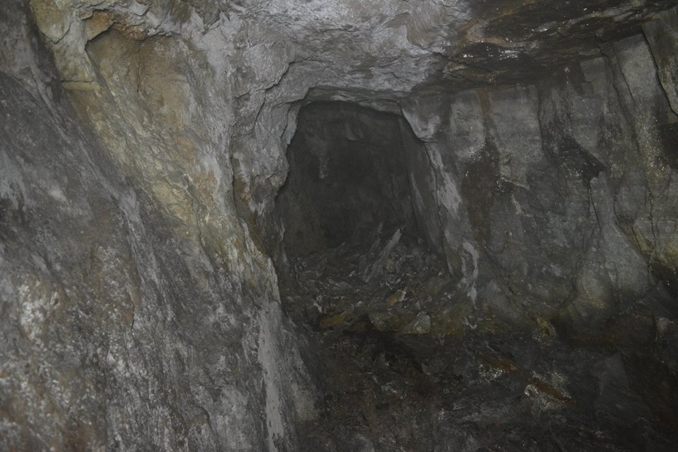
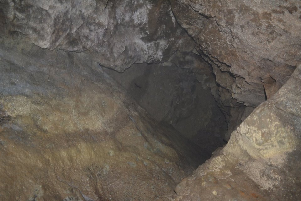
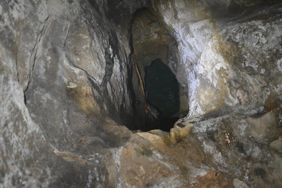
After reaching the dry part of the level there are two shafts dropping down to another lower level.
One shaft, called the Flooded Winze in the diagram below, drops below the lower level and is flooded.
The lower level continues into the hill for another 30 metres, and also continues back towards the adit entrance to join with the Dry Winze.
So far no written history has been found on the mine.
Difficult mine to get to. Bats hibernate in this mine during winter so please do not visit during winter.
Date on the right-hand wall of the adit: 1734 and 1736, with maybe a name above the date.
Map Ref SN94797 69977
Cwm Bach Survey
Cwm Bach Survey by David M D James, Updated 18/11/2020

Cwm Bach Mine Adit, Upper Level


Cwm Bach Mine Adit, Lower Level


Cwm Bach Survey
Cwm Bach Survey by David M D James, April 2018
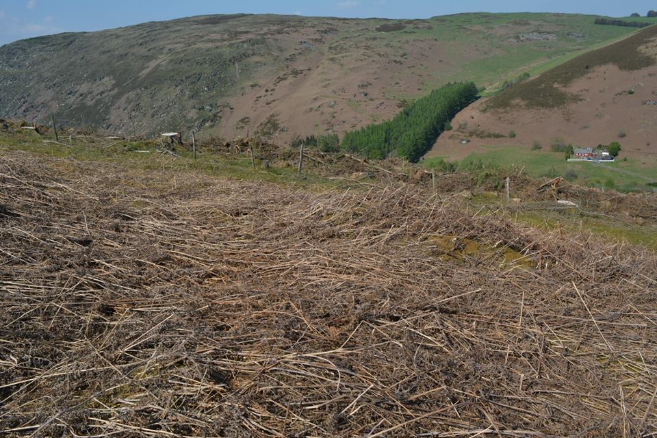
Cwm Bach Adit Spoil
Cwm Bach adit spoil heap, Map Ref SN94797 69977

Cwm Bach Platform
On the left a short open cut possible adit which may have been covered by the forestry road.
A small wall running for about 5m long and 1 foot high and a flat platform where they may have dressed and worked the ore.
This seems to be built on a large spoil heap of very fine spoil.
A larger spoil heap is above the forestry road which is behind the trees in the top left of the photo.
Map Ref SN94836 70019

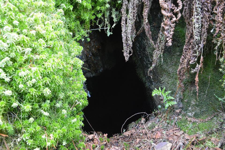
Cwm Bach Mine Shaft
Cwm Bach Mine Shaft, up in the wood, the shaft is roughly 40ft deep with a flooded level at the bottom.
In a dangerous position.
Map Ref SN94758 701470


Possible Area Another Mine Adit
Area where there was another mine adit but I believe this may have been covered over when the forestry road was dug in just behind this area.
Map Ref SN94900 70100
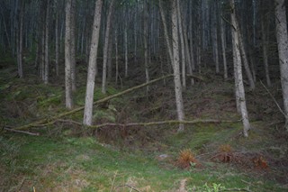

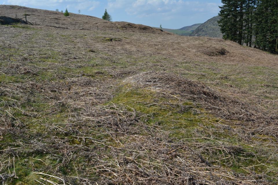
Trial Mines Above Cwm Bach Wood
Cwm Bach Trial Mine 1
Map Ref SN94920 69800

Cwm Bach Trial Mine 2
Map Ref SN94990 69800

Cwm Bach Trial Mine 3
Map Ref SN95260 69600
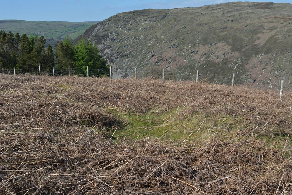
Cwm Bach Trial Mine 4, hollow 5m x 1.5m, mound 1.5
Map Ref SN95270 69580

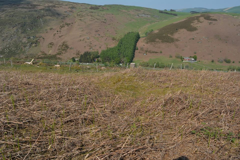
Cwm Bach Trial Mine 5, mound 6m x 3m
Map Ref SN95290 69560
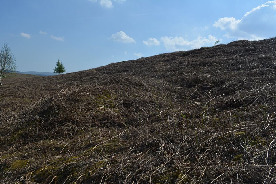
Cwm Bach Trial Mine 6, Gully 6m x 3m and Mound 7m x 4m
Map Ref SN95330 69540

Cwm Bach Trial Mine 7, mound is 7m x 3m
Map Ref SN95390 69470
Cwm Bach Trial Mine 8
Map Ref SN95400 69410

Cwm Bach Trial Mine 9
Gully is 3m x 1.5m and the mound is 3m x 2m
Map Ref SN95410 69460
Cwm Bach Trial Mine 10, the mound is 5m x 3m
Map Ref SN95450 69370
Possible Trial Mine
Map Ref SN95366 69508

Possible Trial Mine
Map Ref SN95225 69600
Possible Trial Mine
Map Ref SN95027 69784

Tel: 07870954997